Distance to Axtell, Utah

Calculating Your Route
Just a moment while we process your request...
Location Information
-
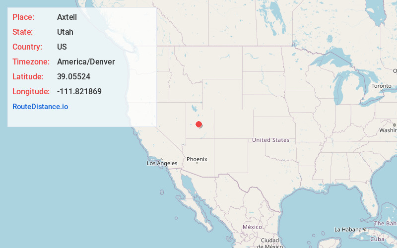
Full AddressAxtell, UT 84621
-
Coordinates39.0552395, -111.8218691
-
LocationAxtell , Utah , US
-
TimezoneAmerica/Denver
-
Current Local Time1:55:55 AM America/DenverWednesday, June 18, 2025
-
Page Views0
About Axtell
Axtell is an unincorporated community in the Sevier Valley on the southwestern edge of Sanpete County, Utah, United States.
Nearby Places
Found 10 places within 50 miles

Spearmint
4.0 mi
6.4 km
Spearmint, UT 84622
Get directions

Redmond
4.0 mi
6.4 km
Redmond, UT 84652
Get directions
Centerfield
4.8 mi
7.7 km
Centerfield, UT 84622
Get directions

Gunnison
6.9 mi
11.1 km
Gunnison, UT
Get directions

Salina
7.0 mi
11.3 km
Salina, UT 84654
Get directions

Mayfield
7.2 mi
11.6 km
Mayfield, UT 84643
Get directions
Christianburg
8.1 mi
13.0 km
Christianburg, UT 84643
Get directions

Aurora
11.0 mi
17.7 km
Aurora, UT 84620
Get directions

Sterling
11.8 mi
19.0 km
Sterling, UT 84665
Get directions
Fayette
11.9 mi
19.2 km
Fayette, UT 84630
Get directions
Location Links
Local Weather
Weather Information
Coming soon!
Location Map
Static map view of Axtell, Utah
Browse Places by Distance
Places within specific distances from Axtell
Short Distances
Long Distances
Click any distance to see all places within that range from Axtell. Distances shown in miles (1 mile ≈ 1.61 kilometers).