Distance to Axtell, Missouri

Calculating Your Route
Just a moment while we process your request...
Location Information
-
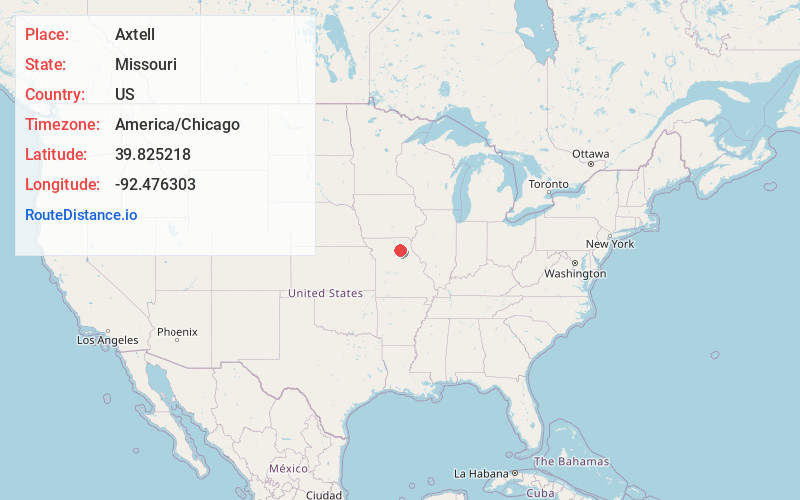
Full AddressAxtell, MO 63552
-
Coordinates39.825218, -92.476303
-
LocationAxtell , Missouri , US
-
TimezoneAmerica/Chicago
-
Current Local Time9:40:06 PM America/ChicagoWednesday, June 18, 2025
-
Page Views0
About Axtell
Axtell is an unincorporated community in Macon County, Missouri, United States. It lies at the intersection of U.S. Route 63 and Missouri Supplemental Route AX, 6 miles north of Macon.
Nearby Places
Found 10 places within 50 miles

Kellogg
2.7 mi
4.3 km
Kellogg, MO 63552
Get directions
Atlanta
5.1 mi
8.2 km
Atlanta, MO 63530
Get directions
Economy
5.3 mi
8.5 km
Economy, MO 63530
Get directions

Macon
5.7 mi
9.2 km
Macon, MO 63552
Get directions

Bevier
7.1 mi
11.4 km
Bevier, MO 63532
Get directions
Number Eight
7.9 mi
12.7 km
Number Eight, MO 63532
Get directions
Cash
8.6 mi
13.8 km
Cash, Valley Township, MO 63534
Get directions

Callao
9.0 mi
14.5 km
Callao, MO 63534
Get directions
Kern
12.4 mi
20.0 km
Kern, Callao Township, MO 63558
Get directions

Clarence
12.9 mi
20.8 km
Clarence, MO 63437
Get directions
Location Links
Local Weather
Weather Information
Coming soon!
Location Map
Static map view of Axtell, Missouri
Browse Places by Distance
Places within specific distances from Axtell
Short Distances
Long Distances
Click any distance to see all places within that range from Axtell. Distances shown in miles (1 mile ≈ 1.61 kilometers).