Distance to Axtell, Texas

Calculating Your Route
Just a moment while we process your request...
Location Information
-
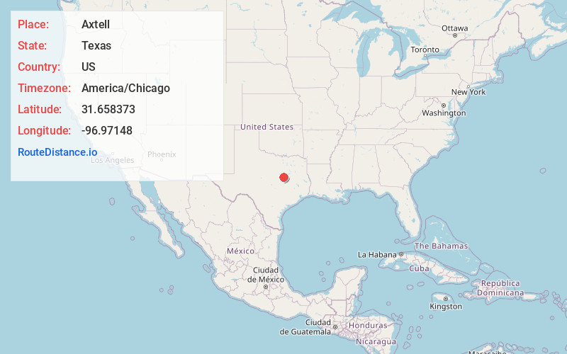
Full AddressAxtell, TX 76624
-
Coordinates31.6583728, -96.9714803
-
LocationAxtell , Texas , US
-
TimezoneAmerica/Chicago
-
Current Local Time10:26:36 PM America/ChicagoSunday, June 29, 2025
-
Page Views0
About Axtell
Axtell is an unincorporated community in eastern McLennan County, Texas, United States. It is part of the Waco Metropolitan Statistical Area. It is best known for being the site of the Mount Carmel Center, the site of the 1993 Waco Siege.
Nearby Places
Found 10 places within 50 miles

Leroy
5.7 mi
9.2 km
Leroy, TX
Get directions

Watt
6.7 mi
10.8 km
Watt, TX 76664
Get directions

Lacy Lakeview
8.0 mi
12.9 km
Lacy Lakeview, TX
Get directions

Bellmead
8.1 mi
13.0 km
Bellmead, TX 76705
Get directions

Hallsburg
8.3 mi
13.4 km
Hallsburg, TX
Get directions
Hoen
8.6 mi
13.8 km
Hoen, TX 76673
Get directions

Mt Calm
8.7 mi
14.0 km
Mt Calm, TX 76673
Get directions
Battle
8.8 mi
14.2 km
Battle, TX 76664
Get directions

Ross
9.6 mi
15.4 km
Ross, TX
Get directions
Prairie Hill
10.7 mi
17.2 km
Prairie Hill, TX
Get directions
Location Links
Local Weather
Weather Information
Coming soon!
Location Map
Static map view of Axtell, Texas
Browse Places by Distance
Places within specific distances from Axtell
Short Distances
Long Distances
Click any distance to see all places within that range from Axtell. Distances shown in miles (1 mile ≈ 1.61 kilometers).