Distance to Axton Landing, New York

Calculating Your Route
Just a moment while we process your request...
Location Information
-
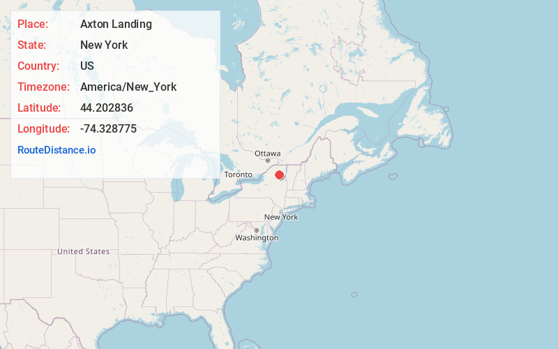
Full AddressAxton Landing, NY 12986
-
Coordinates44.2028364, -74.3287745
-
LocationAxton Landing , New York , US
-
TimezoneAmerica/New_York
-
Current Local Time3:04:09 AM America/New_YorkThursday, May 22, 2025
-
Page Views0


Nearby Places
Found 10 places within 50 miles

Wawbeek
3.6 mi
5.8 km
Wawbeek, NY 12986
Get directions

Tupper Lake
6.9 mi
11.1 km
Tupper Lake, NY 12986
Get directions
Floodwood
9.8 mi
15.8 km
Floodwood, NY 12983
Get directions

Piercefield
12.0 mi
19.3 km
Piercefield, NY
Get directions
Kildare
13.1 mi
21.1 km
Kildare, NY 12986
Get directions

Saranac Lake
13.1 mi
21.1 km
Saranac Lake, NY
Get directions

Mt Arab
13.6 mi
21.9 km
Mt Arab, NY 12986
Get directions
Lake Colby
13.8 mi
22.2 km
Lake Colby, NY 12983
Get directions
Harrietstown
15.8 mi
25.4 km
Harrietstown, NY 12983
Get directions
Keese Mill
15.9 mi
25.6 km
Keese Mill, NY 12970
Get directions
Location Links
Local Weather
Weather Information
Coming soon!
Location Map
Static map view of Axton Landing, New York
Browse Places by Distance
Places within specific distances from Axton Landing
Short Distances
Long Distances
Click any distance to see all places within that range from Axton Landing. Distances shown in miles (1 mile ≈ 1.61 kilometers).