Distance to Ayer, Massachusetts

Calculating Your Route
Just a moment while we process your request...
Location Information
-
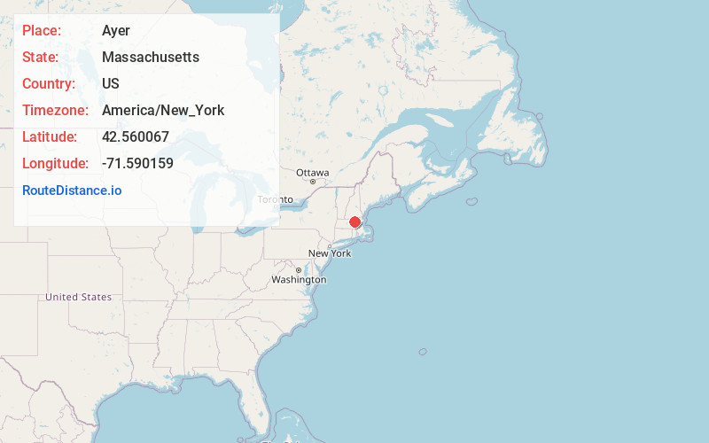
Full AddressAyer, MA
-
Coordinates42.5600669, -71.5901592
-
LocationAyer , Massachusetts , US
-
TimezoneAmerica/New_York
-
Current Local Time4:57:30 PM America/New_YorkFriday, June 20, 2025
-
Website
-
Page Views0
About Ayer
Ayer is a town in Middlesex County, Massachusetts, United States. Originally part of Groton, it was incorporated February 14, 1871, and became a major commercial railroad junction. The town was home to Camp Stevens, a training camp for Massachusetts volunteers during the American Civil War.


Nearby Places
Found 10 places within 50 miles

Groton
3.5 mi
5.6 km
Groton, MA
Get directions

Littleton
4.2 mi
6.8 km
Littleton, MA
Get directions

Pepperell
7.3 mi
11.7 km
Pepperell, MA 01463
Get directions

Westford
7.8 mi
12.6 km
Westford, MA 01886
Get directions

Lunenburg
8.1 mi
13.0 km
Lunenburg, MA 01462
Get directions

Lancaster
8.5 mi
13.7 km
Lancaster, MA
Get directions

Leominster
9.0 mi
14.5 km
Leominster, MA
Get directions

Townsend
9.4 mi
15.1 km
Townsend, MA
Get directions

Acton
9.5 mi
15.3 km
Acton, MA
Get directions

Clinton
10.6 mi
17.1 km
Clinton, MA
Get directions
Location Links
Local Weather
Weather Information
Coming soon!
Location Map
Static map view of Ayer, Massachusetts
Browse Places by Distance
Places within specific distances from Ayer
Short Distances
Long Distances
Click any distance to see all places within that range from Ayer. Distances shown in miles (1 mile ≈ 1.61 kilometers).