Distance to Ayer, Colorado

Calculating Your Route
Just a moment while we process your request...
Location Information
-
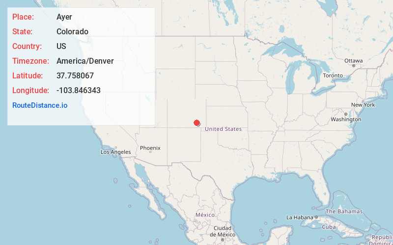
Full AddressAyer, CO 81059
-
Coordinates37.7580673, -103.8463434
-
LocationAyer , Colorado , US
-
TimezoneAmerica/Denver
-
Current Local Time12:59:19 AM America/DenverSunday, June 1, 2025
-
Page Views0
Nearby Places
Found 10 places within 50 miles

Mindeman
5.2 mi
8.4 km
Mindeman, CO 81059
Get directions
Timpas
5.7 mi
9.2 km
Timpas, CO 81059
Get directions
Bloom
7.8 mi
12.6 km
Bloom, CO 81059
Get directions

Delhi
12.3 mi
19.8 km
Delhi, CO 81059
Get directions
Houghton
15.9 mi
25.6 km
Houghton, CO 81059
Get directions
Hawley
17.2 mi
27.7 km
Hawley, CO 81050
Get directions
Roberta
18.9 mi
30.4 km
Roberta, CO 81050
Get directions
Higbee
21.2 mi
34.1 km
Higbee, CO 81050
Get directions

Swink
21.3 mi
34.3 km
Swink, CO
Get directions

Rocky Ford
21.5 mi
34.6 km
Rocky Ford, CO 81067
Get directions
Location Links
Local Weather
Weather Information
Coming soon!
Location Map
Static map view of Ayer, Colorado
Browse Places by Distance
Places within specific distances from Ayer
Short Distances
Long Distances
Click any distance to see all places within that range from Ayer. Distances shown in miles (1 mile ≈ 1.61 kilometers).