Distance to and from Ayer, Washington
Ayer, WA 99348
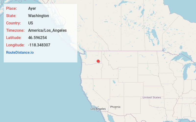
Ayer
Washington
US
America/Los_Angeles
Location Information
-
Full AddressAyer, WA 99348
-
Coordinates46.5962541, -118.3483073
-
LocationAyer , Washington , US
-
TimezoneAmerica/Los_Angeles
-
Current Local Time9:13:19 AM America/Los_AngelesWednesday, May 7, 2025
-
Page Views0
Directions to Nearest Cities
About Ayer
Ayer is an unincorporated community located in Walla Walla County, Washington, United States.
AYER is a stop on the Union Pacific Railroad located in the northern portion of the county, approximately 47 miles north of Walla Walla along the Snake River.


Nearby Places
Found 10 places within 50 miles

Rifton
0.5 mi
0.8 km
Rifton, WA 99348
Get directions
Magallon
6.1 mi
9.8 km
Magallon, WA 99348
Get directions

Joso
6.2 mi
10.0 km
Joso, WA 99143
Get directions
Ruxby
6.9 mi
11.1 km
Ruxby, WA 99348
Get directions
Sperry
7.7 mi
12.4 km
Sperry, WA 99371
Get directions
McAdam
7.8 mi
12.6 km
McAdam, WA 99348
Get directions
Harder
8.1 mi
13.0 km
Harder, WA 99348
Get directions

Wacota
8.1 mi
13.0 km
Wacota, WA 99348
Get directions

Matthew
9.3 mi
15.0 km
Matthew, WA 99348
Get directions
Powers
10.1 mi
16.3 km
Powers, WA 99328
Get directions
Rifton
0.5 mi
0.8 km
Rifton, WA 99348
Magallon
6.1 mi
9.8 km
Magallon, WA 99348
Joso
6.2 mi
10.0 km
Joso, WA 99143
Ruxby
6.9 mi
11.1 km
Ruxby, WA 99348
Sperry
7.7 mi
12.4 km
Sperry, WA 99371
McAdam
7.8 mi
12.6 km
McAdam, WA 99348
Harder
8.1 mi
13.0 km
Harder, WA 99348
Wacota
8.1 mi
13.0 km
Wacota, WA 99348
Matthew
9.3 mi
15.0 km
Matthew, WA 99348
Powers
10.1 mi
16.3 km
Powers, WA 99328
Location Links
Local Weather
Weather Information
Coming soon!
Location Map
Static map view of Ayer, Washington
Browse Places by Distance
Places within specific distances from Ayer
Short Distances
Long Distances
Click any distance to see all places within that range from Ayer. Distances shown in miles (1 mile ≈ 1.61 kilometers).