Distance to and from Azamgarh, Uttar Pradesh
Azamgarh, Uttar Pradesh, India
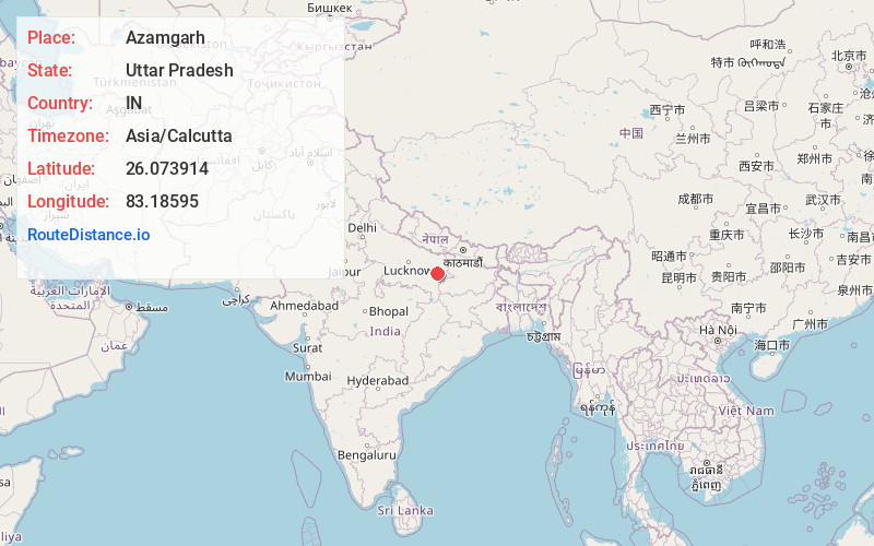
Azamgarh
Uttar Pradesh
IN
Asia/Calcutta
Location Information
-
Full AddressAzamgarh, Uttar Pradesh, India
-
Coordinates26.0739138, 83.1859495
-
LocationAzamgarh , Uttar Pradesh , IN
-
TimezoneAsia/Calcutta
-
Website
-
Page Views0
About Azamgarh
Azamgarh is a city in the Indian state of Uttar Pradesh. It is the headquarters of Azamgarh division, which consists of Ballia, Mau and Azamgarh districts. Azamgarh is situated on the bank of Tamsa River. It is located 268 km east of the state capital Lucknow and 809 km from the national capital, Delhi.


Location Links
Local Weather
Weather Information
Coming soon!
Location Map
Static map view of Azamgarh, Uttar Pradesh
Browse Places by Distance
Places within specific distances from Azamgarh
Short Distances
Long Distances
Click any distance to see all places within that range from Azamgarh. Distances shown in miles (1 mile ≈ 1.61 kilometers).