Distance to Baber, West Virginia

Calculating Your Route
Just a moment while we process your request...
Location Information
-
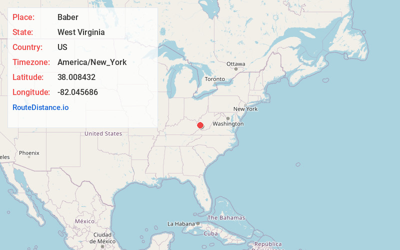
Full AddressBaber, Big Creek, WV 25508
-
Coordinates38.0084322, -82.0456857
-
LocationBig Creek , West Virginia , US
-
TimezoneAmerica/New_York
-
Current Local Time3:44:06 AM America/New_YorkTuesday, July 1, 2025
-
Page Views0
About Baber
Baber is an unincorporated community at the mouth of Limestone Creek along the Guyandotte River situated between the communities of Daisy and Big Creek in northern Logan County, West Virginia, United States. Baber is accessed by West Virginia Route 10 and CSX Railroad.
Nearby Places
Found 10 places within 50 miles

Big Creek
0.4 mi
0.6 km
Big Creek, WV
Get directions

Toney
1.5 mi
2.4 km
Toney, WV 25524
Get directions
Banco
2.1 mi
3.4 km
Banco, WV 25508
Get directions

Chapmanville
2.9 mi
4.7 km
Chapmanville, WV 25508
Get directions
Harts
4.8 mi
7.7 km
Harts, WV
Get directions
Manila
5.8 mi
9.3 km
Manila, WV 25508
Get directions
Gill
6.9 mi
11.1 km
Gill, WV 25557
Get directions
Mitchell Heights
7.8 mi
12.6 km
Mitchell Heights, WV 25601
Get directions

Henlawson
8.0 mi
12.9 km
Henlawson, WV 25601
Get directions
Spurlockville
8.2 mi
13.2 km
Spurlockville, WV 25501
Get directions
Location Links
Local Weather
Weather Information
Coming soon!
Location Map
Static map view of Baber, West Virginia
Browse Places by Distance
Places within specific distances from Baber
Short Distances
Long Distances
Click any distance to see all places within that range from Baber. Distances shown in miles (1 mile ≈ 1.61 kilometers).