Distance to Bacalar, Quintana Roo

Calculating Your Route
Just a moment while we process your request...
Location Information
-
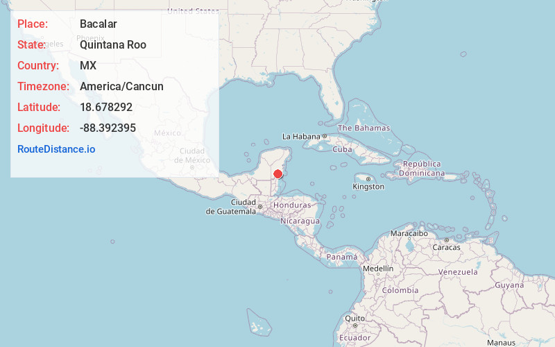
Full AddressBacalar, Quintana Roo, Mexico
-
Coordinates18.6782919, -88.3923946
-
LocationBacalar , Quintana Roo , MX
-
TimezoneAmerica/Cancun
-
Current Local Time4:14:27 PM America/CancunFriday, June 6, 2025
-
Page Views0
About Bacalar
Bacalar is a town in southeastern Mexico near the Belize border. It’s on Lake Bacalar, also called the Lagoon of Seven Colors due to its blue and turquoise hues. Fuerte de San Felipe is an 18th-century fort that now houses a piracy museum displaying colonial-era weapons and artifacts. The colonial San Joaquín Parish Church has a vaulted ceiling. To the south is Cenote Azul, a small, deep lake with underwater caves.


Location Links
Local Weather
Weather Information
Coming soon!
Location Map
Static map view of Bacalar, Quintana Roo
Browse Places by Distance
Places within specific distances from Bacalar
Short Distances
Long Distances
Click any distance to see all places within that range from Bacalar. Distances shown in miles (1 mile ≈ 1.61 kilometers).