Distance to Bader, Illinois

Calculating Your Route
Just a moment while we process your request...
Location Information
-
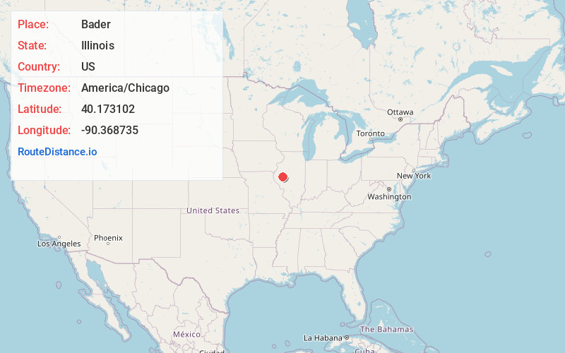
Full AddressBader, IL 61501
-
Coordinates40.1731015, -90.3687351
-
LocationBader , Illinois , US
-
TimezoneAmerica/Chicago
-
Current Local Time12:47:38 PM America/ChicagoTuesday, July 1, 2025
-
Page Views0
About Bader
Bader is an unincorporated community in Schuyler County, Illinois, United States. Bader is 3 miles north of Browning. The community was founded in 1870 under the name Osceola; it was later renamed after William Bader, who ran a grain elevator in the community.
Nearby Places
Found 10 places within 50 miles

Browning
3.1 mi
5.0 km
Browning, IL 62617
Get directions
Astoria
3.8 mi
6.1 km
Astoria, IL 61501
Get directions
Sheldons Grove
4.0 mi
6.4 km
Sheldons Grove, IL 61501
Get directions

Frederick
7.8 mi
12.6 km
Frederick, IL 62618
Get directions
Snicarte
8.0 mi
12.9 km
Snicarte, IL 62617
Get directions
Oakland Center
8.5 mi
13.7 km
Oakland Center, Oakland Township, IL 62681
Get directions

Vermont
8.9 mi
14.3 km
Vermont, IL 61484
Get directions
Beaty
9.6 mi
15.4 km
Beaty, Woodland Township, IL 61501
Get directions

Rushville
10.9 mi
17.5 km
Rushville, IL 62681
Get directions

Beardstown
11.1 mi
17.9 km
Beardstown, IL 62618
Get directions
Location Links
Local Weather
Weather Information
Coming soon!
Location Map
Static map view of Bader, Illinois
Browse Places by Distance
Places within specific distances from Bader
Short Distances
Long Distances
Click any distance to see all places within that range from Bader. Distances shown in miles (1 mile ≈ 1.61 kilometers).