Distance to Bagdad, Arizona

Calculating Your Route
Just a moment while we process your request...
Location Information
-
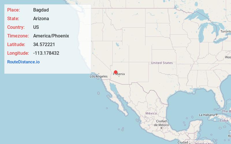
Full AddressBagdad, AZ 86321
-
Coordinates34.5722212, -113.1784322
-
LocationBagdad , Arizona , US
-
TimezoneAmerica/Phoenix
-
Current Local Time1:17:46 AM America/PhoenixFriday, June 20, 2025
-
Page Views0
About Bagdad
Bagdad is a copper mining community and census-designated place in Yavapai County, Arizona, United States, in the western part of the state. It is one of only two remaining company towns in Arizona. The population was 1,876 at the 2010 census, up from 1,578 in 2000.


Nearby Places
Found 6 places within 50 miles

Williamson
37.1 mi
59.7 km
Williamson, AZ
Get directions

Prescott
40.5 mi
65.2 km
Prescott, AZ
Get directions

Chino Valley
43.1 mi
69.4 km
Chino Valley, AZ
Get directions

Paulden
45.8 mi
73.7 km
Paulden, AZ
Get directions

Wickenburg
48.9 mi
78.7 km
Wickenburg, AZ 85390
Get directions

Prescott Valley
49.2 mi
79.2 km
Prescott Valley, AZ
Get directions
Location Links
Local Weather
Weather Information
Coming soon!
Location Map
Static map view of Bagdad, Arizona
Browse Places by Distance
Places within specific distances from Bagdad
Short Distances
Long Distances
Click any distance to see all places within that range from Bagdad. Distances shown in miles (1 mile ≈ 1.61 kilometers).