Distance to Bailey, Oklahoma

Calculating Your Route
Just a moment while we process your request...
Location Information
-
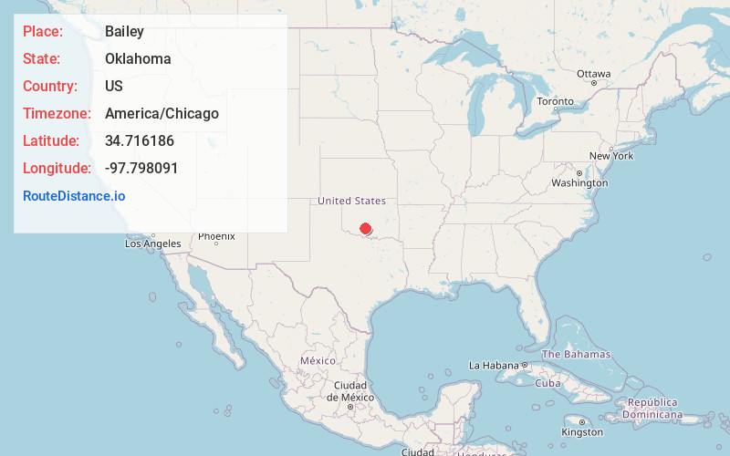
Full AddressBailey, OK 73055
-
Coordinates34.7161861, -97.7980909
-
LocationOklahoma , US
-
TimezoneAmerica/Chicago
-
Current Local Time5:34:44 PM America/ChicagoWednesday, June 4, 2025
-
Page Views0
About Bailey
Bailey is a ghost town in Grady County, Oklahoma, United States. It was 12 miles northeast of Marlow and had a post office from June 25, 1892, until September 30, 1932. It was named after J. J. Bailey, a wagon master on a stage line to Fort Sill.
Nearby Places
Found 10 places within 50 miles

Bray
5.5 mi
8.9 km
Bray, OK 73055
Get directions

Rush Springs
10.1 mi
16.3 km
Rush Springs, OK 73082
Get directions

Marlow
10.2 mi
16.4 km
Marlow, OK 73055
Get directions

Bradley
12.3 mi
19.8 km
Bradley, OK 73011
Get directions

Erin Springs
12.7 mi
20.4 km
Erin Springs, OK 73052
Get directions

Alex
13.8 mi
22.2 km
Alex, OK 73002
Get directions

Acme
13.8 mi
22.2 km
Acme, OK 73082
Get directions

Lindsay
13.8 mi
22.2 km
Lindsay, OK 73052
Get directions

Duncan
17.3 mi
27.8 km
Duncan, OK
Get directions
Ninnekah
17.6 mi
28.3 km
Ninnekah, OK
Get directions
Location Links
Local Weather
Weather Information
Coming soon!
Location Map
Static map view of Bailey, Oklahoma
Browse Places by Distance
Places within specific distances from Bailey
Short Distances
Long Distances
Click any distance to see all places within that range from Bailey. Distances shown in miles (1 mile ≈ 1.61 kilometers).