Distance to Baileyton, Tennessee

Calculating Your Route
Just a moment while we process your request...
Location Information
-
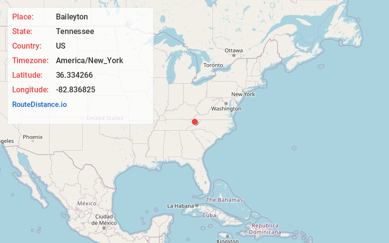
Full AddressBaileyton, TN 37745
-
Coordinates36.3342662, -82.8368253
-
LocationBaileyton , Tennessee , US
-
TimezoneAmerica/New_York
-
Current Local Time7:07:59 PM America/New_YorkFriday, June 20, 2025
-
Page Views0
About Baileyton
Baileyton is a town in northern Greene County, Tennessee, United States. The population was 431 at the 2010 census, down from 504 at the 2000 census. Baileyton is located 13 miles north of Greeneville and 18 miles southeast of Rogersville.


Nearby Places
Found 10 places within 50 miles

Surgoinsville
9.5 mi
15.3 km
Surgoinsville, TN
Get directions

Rogersville
10.7 mi
17.2 km
Rogersville, TN 37857
Get directions

Tusculum
11.8 mi
19.0 km
Tusculum, TN
Get directions

Greeneville
11.8 mi
19.0 km
Greeneville, TN
Get directions

Mosheim
12.1 mi
19.5 km
Mosheim, TN
Get directions

Fall Branch
13.2 mi
21.2 km
Fall Branch, TN 37656
Get directions

Church Hill
14.7 mi
23.7 km
Church Hill, TN 37642
Get directions

Bulls Gap
14.9 mi
24.0 km
Bulls Gap, TN 37711
Get directions

Sullivan Gardens
16.8 mi
27.0 km
Sullivan Gardens, TN 37660
Get directions

Telford
17.3 mi
27.8 km
Telford, TN 37690
Get directions
Location Links
Local Weather
Weather Information
Coming soon!
Location Map
Static map view of Baileyton, Tennessee
Browse Places by Distance
Places within specific distances from Baileyton
Short Distances
Long Distances
Click any distance to see all places within that range from Baileyton. Distances shown in miles (1 mile ≈ 1.61 kilometers).