Distance to Baker, Nevada

Calculating Your Route
Just a moment while we process your request...
Location Information
-
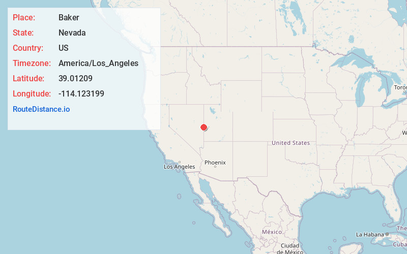
Full AddressBaker, NV 89311
-
Coordinates39.0120898, -114.1231987
-
LocationBaker , Nevada , US
-
TimezoneAmerica/Los_Angeles
-
Current Local Time2:20:55 AM America/Los_AngelesWednesday, June 18, 2025
-
Page Views0
About Baker
Baker is a census-designated place in southeastern White Pine County, Nevada, United States. It is located 5 miles east of the main entrance of Great Basin National Park at the junction of State Routes 487 and 488. The town is named after an early settler, George W. Baker. Its population at the 2010 census was 68.


Location Links
Local Weather
Weather Information
Coming soon!
Location Map
Static map view of Baker, Nevada
Browse Places by Distance
Places within specific distances from Baker
Short Distances
Long Distances
Click any distance to see all places within that range from Baker. Distances shown in miles (1 mile ≈ 1.61 kilometers).