Distance to Balch Springs, Texas

Calculating Your Route
Just a moment while we process your request...
Location Information
-
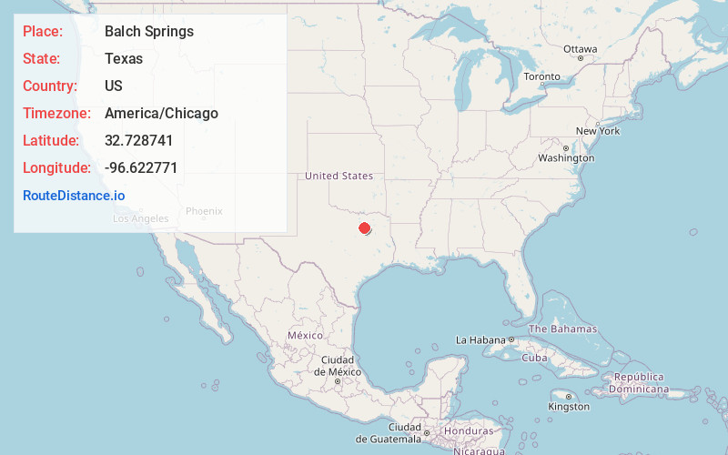
Full AddressBalch Springs, TX
-
Coordinates32.7287413, -96.6227714
-
LocationBalch Springs , Texas , US
-
TimezoneAmerica/Chicago
-
Current Local Time12:50:31 AM America/ChicagoMonday, June 2, 2025
-
Website
-
Page Views0
About Balch Springs
Balch Springs is a city in Dallas County, Texas, United States. It is an inner-ring suburb of Dallas and part of the Dallas–Fort Worth metroplex. Its population was 23,728 at the 2010 census, and 25,007 at 2019's census estimates.


Nearby Places
Found 10 places within 50 miles

Mesquite
3.0 mi
4.8 km
Mesquite, TX
Get directions

Dallas
10.7 mi
17.2 km
Dallas, TX
Get directions

Lancaster
12.2 mi
19.6 km
Lancaster, TX
Get directions

Rowlett
12.5 mi
20.1 km
Rowlett, TX
Get directions

Garland
12.8 mi
20.6 km
Garland, TX
Get directions

Rockwall
16.0 mi
25.7 km
Rockwall, TX
Get directions

Richardson
16.4 mi
26.4 km
Richardson, TX
Get directions

DeSoto
16.7 mi
26.9 km
DeSoto, TX 75115
Get directions

Sachse
17.2 mi
27.7 km
Sachse, TX
Get directions

Duncanville
17.4 mi
28.0 km
Duncanville, TX
Get directions
Location Links
Local Weather
Weather Information
Coming soon!
Location Map
Static map view of Balch Springs, Texas
Browse Places by Distance
Places within specific distances from Balch Springs
Short Distances
Long Distances
Click any distance to see all places within that range from Balch Springs. Distances shown in miles (1 mile ≈ 1.61 kilometers).