Distance to Bald Bluff, Illinois

Calculating Your Route
Just a moment while we process your request...
Location Information
-
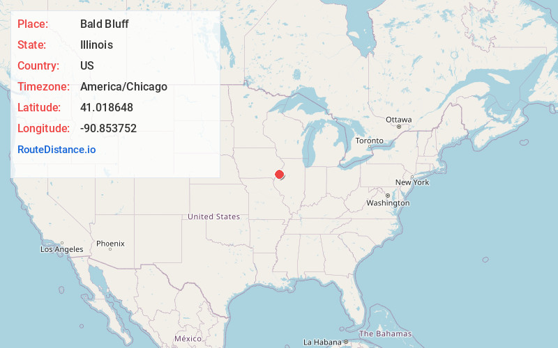
Full AddressBald Bluff, IL 61453
-
Coordinates41.0186477, -90.8537518
-
LocationBald Bluff , Illinois , US
-
TimezoneAmerica/Chicago
-
Current Local Time1:37:56 PM America/ChicagoTuesday, June 24, 2025
-
Page Views0
About Bald Bluff
Bald Bluff is an unincorporated community, in Bald Bluff Township, Henderson County, Illinois, United States.
Nearby Places
Found 10 places within 50 miles

Milroy
3.5 mi
5.6 km
Milroy, IL 61469
Get directions
Rozetta
5.3 mi
8.5 km
Rozetta, IL 61469
Get directions

Little York
5.6 mi
9.0 km
Little York, IL 61453
Get directions
Seaton
6.4 mi
10.3 km
Seaton, IL 61476
Get directions
Reeds
7.2 mi
11.6 km
Reeds, Rozetta Township, IL 61447
Get directions

Keithsburg
7.3 mi
11.7 km
Keithsburg, IL 61442
Get directions

Oquawka
7.7 mi
12.4 km
Oquawka, IL 61469
Get directions
Eleanor
8.6 mi
13.8 km
Eleanor, IL 61453
Get directions
Huron
9.5 mi
15.3 km
Huron, IA 52646
Get directions
Sunbeam
9.7 mi
15.6 km
Sunbeam, IL 61231
Get directions
Location Links
Local Weather
Weather Information
Coming soon!
Location Map
Static map view of Bald Bluff, Illinois
Browse Places by Distance
Places within specific distances from Bald Bluff
Short Distances
Long Distances
Click any distance to see all places within that range from Bald Bluff. Distances shown in miles (1 mile ≈ 1.61 kilometers).