Distance to Baldwin Park, California

Calculating Your Route
Just a moment while we process your request...
Location Information
-
Full AddressBaldwin Park, CA
-
Coordinates34.0852868, -117.9608978
-
LocationBaldwin Park , California , US
-
TimezoneAmerica/Los_Angeles
-
Current Local Time4:23:35 PM America/Los_AngelesWednesday, June 18, 2025
-
Website
-
Page Views0
About Baldwin Park
Baldwin Park is a city located in the central San Gabriel Valley region of Los Angeles County, California, United States. As of the 2020 census, the population was 72,176, down from 75,390 at the 2010 census.


Nearby Places
Found 10 places within 50 miles

West Covina
1.7 mi
2.7 km
West Covina, CA
Get directions

El Monte
4.2 mi
6.8 km
El Monte, CA
Get directions

Whittier
8.6 mi
13.8 km
Whittier, CA
Get directions

Alhambra
9.5 mi
15.3 km
Alhambra, CA
Get directions

Pasadena
11.3 mi
18.2 km
Pasadena, CA
Get directions

Pomona
12.3 mi
19.8 km
Pomona, CA
Get directions

East Los Angeles
12.6 mi
20.3 km
East Los Angeles, CA
Get directions

Norwalk
13.3 mi
21.4 km
Norwalk, CA 90650
Get directions

Downey
14.1 mi
22.7 km
Downey, CA
Get directions

Fullerton
15.0 mi
24.1 km
Fullerton, CA
Get directions
Location Links
Local Weather
Weather Information
Coming soon!
Location Map
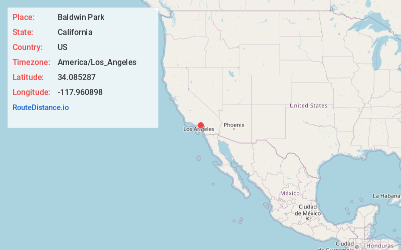
Static map view of Baldwin Park, California
Browse Places by Distance
Places within specific distances from Baldwin Park
Short Distances
Long Distances
Click any distance to see all places within that range from Baldwin Park. Distances shown in miles (1 mile ≈ 1.61 kilometers).