Distance to Ball, Louisiana

Calculating Your Route
Just a moment while we process your request...
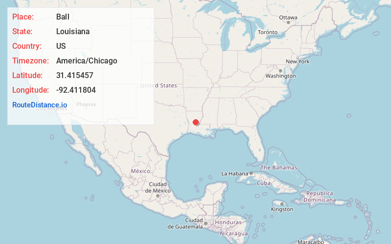
Location Information
-
Full AddressBall, LA
-
Coordinates31.4154574, -92.4118036
-
LocationBall , Louisiana , US
-
TimezoneAmerica/Chicago
-
Current Local Time10:27:04 PM America/ChicagoThursday, June 12, 2025
-
Page Views0
About Ball
Ball is a town in Rapides Parish, just north of Pineville, Louisiana, United States. Established in 1972, it is part of the Alexandria, Louisiana Metropolitan Statistical Area. The population was 4,000 at the 2010 census, an increase of 8.7 percent over the 2000 tabulation of 3,681.

Nearby Places
Found 7 places within 50 miles

Pineville
6.6 mi
10.6 km
Pineville, LA
Get directions

Alexandria
7.5 mi
12.1 km
Alexandria, LA
Get directions

Jena
24.7 mi
39.8 km
Jena, LA
Get directions

Marksville
28.5 mi
45.9 km
Marksville, LA
Get directions

Winnfield
37.7 mi
60.7 km
Winnfield, LA 71483
Get directions

Oakdale
43.9 mi
70.7 km
Oakdale, LA 71463
Get directions

Natchitoches
46.3 mi
74.5 km
Natchitoches, LA
Get directions
Location Links
Local Weather
Weather Information
Coming soon!
Location Map
Static map view of Ball, Louisiana
Browse Places by Distance
Places within specific distances from Ball
Short Distances
Long Distances
Click any distance to see all places within that range from Ball. Distances shown in miles (1 mile ≈ 1.61 kilometers).