Distance to Ballast Point Park, Florida

Calculating Your Route
Just a moment while we process your request...
Location Information
-
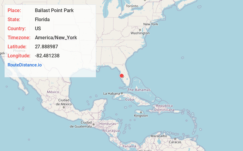
Full AddressBallast Point Park, 5300 Interbay Blvd, Tampa, FL 33611
-
Coordinates27.8889874, -82.4812381
-
Street5300 Interbay Blvd
-
NeighborhoodSouth Tampa
-
LocationTampa , Florida , US
-
TimezoneAmerica/New_York
-
Current Local Time5:21:11 AM America/New_YorkWednesday, June 18, 2025
-
Page Views0
About Ballast Point Park
Historic waterfront park offering views of Downtown with a cafe, pier, picnicking & a playground.


Nearby Places
Found 10 places within 50 miles

Port Sutton
3.9 mi
6.3 km
Port Sutton, FL 33619
Get directions

Tampa
4.5 mi
7.2 km
Tampa, FL
Get directions

Palm River-Clair Mel
6.3 mi
10.1 km
Palm River-Clair Mel, FL
Get directions

East Tampa
6.4 mi
10.3 km
East Tampa, FL 33578
Get directions

Gibsonton
6.5 mi
10.5 km
Gibsonton, FL
Get directions

Progress Village
7.6 mi
12.2 km
Progress Village, FL
Get directions

Egypt Lake-Leto
8.9 mi
14.3 km
Egypt Lake-Leto, FL 33614
Get directions

Riverview
10.0 mi
16.1 km
Riverview, FL
Get directions
North Ruskin
10.1 mi
16.3 km
North Ruskin, Apollo Beach, FL 33572
Get directions

Town 'N' Country
10.2 mi
16.4 km
Town 'N' Country, FL
Get directions
Location Links
Local Weather
Weather Information
Coming soon!
Location Map
Static map view of Ballast Point Park, Florida
Browse Places by Distance
Places within specific distances from Ballast Point Park
Short Distances
Long Distances
Click any distance to see all places within that range from Ballast Point Park. Distances shown in miles (1 mile ≈ 1.61 kilometers).