Distance to Ballena, California

Calculating Your Route
Just a moment while we process your request...
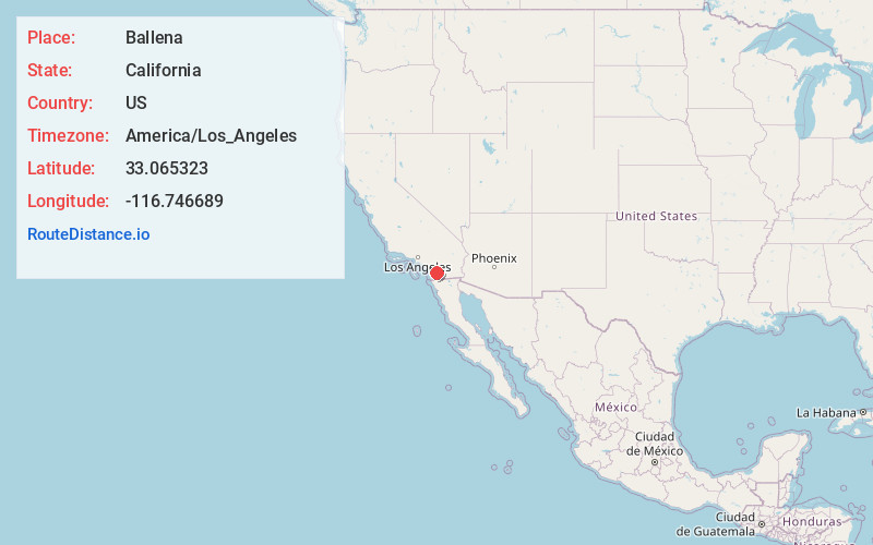
Location Information
-
Full AddressBallena, CA 92065
-
Coordinates33.0653225, -116.7466892
-
LocationBallena , California , US
-
TimezoneAmerica/Los_Angeles
-
Current Local Time6:43:03 PM America/Los_AngelesSaturday, June 21, 2025
-
Page Views0
About Ballena
Ballena is an unincorporated community in the Ballena Valley of San Diego County, California.
Ballena is east of Ramona and west of Santa Ysabel, at the junction of California State Route 78 and the Old Julian Highway.
Nearby Places
Found 10 places within 50 miles

Santa Ysabel
5.2 mi
8.4 km
Santa Ysabel, CA 92070
Get directions

Wynola
6.3 mi
10.1 km
Wynola, CA 92036
Get directions

Pine Hills
6.8 mi
10.9 km
Pine Hills, CA 92036
Get directions

Mesa Grande
8.1 mi
13.0 km
Mesa Grande, CA 92070
Get directions

Julian
8.4 mi
13.5 km
Julian, CA 92036
Get directions
Harrison Park
10.6 mi
17.1 km
Harrison Park, CA 92036
Get directions
Irvings Crest
11.3 mi
18.2 km
Irvings Crest, CA 92065
Get directions
Barona
11.4 mi
18.3 km
Barona, CA 92040
Get directions

Banner
11.6 mi
18.7 km
Banner, CA 92036
Get directions
Fernbrook
11.6 mi
18.7 km
Fernbrook, CA 92065
Get directions
Location Links
Local Weather
Weather Information
Coming soon!
Location Map
Static map view of Ballena, California
Browse Places by Distance
Places within specific distances from Ballena
Short Distances
Long Distances
Click any distance to see all places within that range from Ballena. Distances shown in miles (1 mile ≈ 1.61 kilometers).