Distance to Bandana, North Carolina

Calculating Your Route
Just a moment while we process your request...
Location Information
-
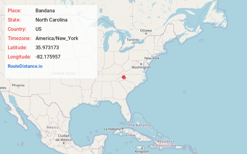
Full AddressBandana, NC 28705
-
Coordinates35.973173, -82.1759571
-
LocationNorth Carolina , US
-
TimezoneAmerica/New_York
-
Current Local Time6:48:40 AM America/New_YorkWednesday, June 18, 2025
-
Page Views0
Nearby Places
Found 10 places within 50 miles

Lunday
1.7 mi
2.7 km
Lunday, NC 28705
Get directions
Kona
1.8 mi
2.9 km
Kona, NC 28705
Get directions
Double Island
2.0 mi
3.2 km
Double Island, NC 28740
Get directions
Wing
2.6 mi
4.2 km
Wing, NC 28705
Get directions
Ledger
2.7 mi
4.3 km
Ledger, NC 28705
Get directions

Loafers Glory
2.8 mi
4.5 km
Loafers Glory, NC 28705
Get directions
Boonford
3.0 mi
4.8 km
Boonford, NC 28705
Get directions

Bakersville
3.1 mi
5.0 km
Bakersville, NC 28705
Get directions
Normanville
3.3 mi
5.3 km
Normanville, NC 28705
Get directions
Bacchus
3.5 mi
5.6 km
Bacchus, NC 28714
Get directions
Location Links
Local Weather
Weather Information
Coming soon!
Location Map
Static map view of Bandana, North Carolina
Browse Places by Distance
Places within specific distances from Bandana
Short Distances
Long Distances
Click any distance to see all places within that range from Bandana. Distances shown in miles (1 mile ≈ 1.61 kilometers).