Distance to Bannack, Montana

Calculating Your Route
Just a moment while we process your request...
Location Information
-
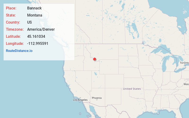
Full AddressBannack, MT 59725
-
Coordinates45.1610337, -112.9955907
-
LocationBannack , Montana , US
-
TimezoneAmerica/Denver
-
Current Local Time1:37:59 AM America/DenverSaturday, June 21, 2025
-
Page Views0
About Bannack
Bannack is a ghost town in Beaverhead County, Montana, United States, located on Grasshopper Creek, approximately 11 miles upstream from where Grasshopper Creek joins with the Beaverhead River south of Dillon.


Nearby Places
Found 10 places within 50 miles

Ermont Mill
8.3 mi
13.4 km
Ermont Mill, MT 59725
Get directions

Argenta
10.5 mi
16.9 km
Argenta, MT 59725
Get directions
Grant
11.1 mi
17.9 km
Grant, MT 59725
Get directions
Dalys
11.7 mi
18.8 km
Dalys, MT 59725
Get directions

Barretts
12.6 mi
20.3 km
Barretts, MT 59725
Get directions

Polaris
15.6 mi
25.1 km
Polaris, MT 59746
Get directions

Dillon
17.8 mi
28.6 km
Dillon, MT 59725
Get directions
Bond
18.9 mi
30.4 km
Bond, MT 59725
Get directions
Red Rock
20.0 mi
32.2 km
Red Rock, MT 59725
Get directions
Apex
20.7 mi
33.3 km
Apex, MT 59725
Get directions
Location Links
Local Weather
Weather Information
Coming soon!
Location Map
Static map view of Bannack, Montana
Browse Places by Distance
Places within specific distances from Bannack
Short Distances
Long Distances
Click any distance to see all places within that range from Bannack. Distances shown in miles (1 mile ≈ 1.61 kilometers).