Distance to Banock, Kentucky

Calculating Your Route
Just a moment while we process your request...
Location Information
-
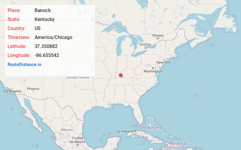
Full AddressBanock, KY 42261
-
Coordinates37.3508822, -86.6555424
-
LocationKentucky , US
-
TimezoneAmerica/Chicago
-
Current Local Time4:32:25 PM America/ChicagoWednesday, June 18, 2025
-
Page Views0
Nearby Places
Found 10 places within 50 miles

Dexterville
2.3 mi
3.7 km
Dexterville, KY 42261
Get directions

Rosine
8.3 mi
13.4 km
Rosine, KY
Get directions
Jugville
8.4 mi
13.5 km
Jugville, KY 42721
Get directions

Morgantown
8.8 mi
14.2 km
Morgantown, KY 42261
Get directions

Caneyville
10.5 mi
16.9 km
Caneyville, KY 42721
Get directions

Woodbury
11.6 mi
18.7 km
Woodbury, KY 42261
Get directions

Beaver Dam
12.6 mi
20.3 km
Beaver Dam, KY 42320
Get directions
Roundhill
14.6 mi
23.5 km
Roundhill, KY 42275
Get directions
McHenry
14.8 mi
23.8 km
McHenry, KY
Get directions

Hartford
15.6 mi
25.1 km
Hartford, KY
Get directions
Location Links
Local Weather
Weather Information
Coming soon!
Location Map
Static map view of Banock, Kentucky
Browse Places by Distance
Places within specific distances from Banock
Short Distances
Long Distances
Click any distance to see all places within that range from Banock. Distances shown in miles (1 mile ≈ 1.61 kilometers).