Distance to Baring, Maine

Calculating Your Route
Just a moment while we process your request...
Location Information
-
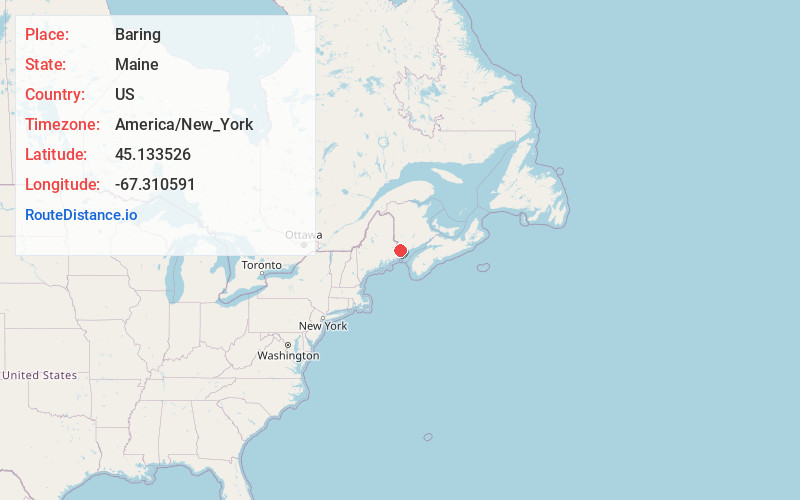
Full AddressBaring, ME
-
Coordinates45.1335262, -67.3105906
-
LocationBaring , Maine , US
-
TimezoneAmerica/New_York
-
Current Local Time11:11:19 AM America/New_YorkSunday, June 29, 2025
-
Page Views0
About Baring
Baring Plantation is a plantation in Washington County, Maine, United States. The population was 201 at the 2020 census. The plantation is named for Alexander Baring, 1st Baron Ashburton, the British negotiator of the Webster–Ashburton Treaty which ended the Aroostook War in 1838–1839.

Nearby Places
Found 10 places within 50 miles

Calais
4.1 mi
6.6 km
Calais, ME
Get directions

Baileyville
7.2 mi
11.6 km
Baileyville, ME 04694
Get directions

Alexander
8.3 mi
13.4 km
Alexander, ME 04694
Get directions

Charlotte
8.4 mi
13.5 km
Charlotte, ME 04666
Get directions
Robbinston
10.5 mi
16.9 km
Robbinston, ME
Get directions

Princeton
14.1 mi
22.7 km
Princeton, ME
Get directions

Pembroke
14.2 mi
22.9 km
Pembroke, ME 04666
Get directions

Perry
16.3 mi
26.2 km
Perry, ME 04667
Get directions

Eastport
22.4 mi
36.0 km
Eastport, ME
Get directions

Whiting
24.6 mi
39.6 km
Whiting, ME 04691
Get directions
Location Links
Local Weather
Weather Information
Coming soon!
Location Map
Static map view of Baring, Maine
Browse Places by Distance
Places within specific distances from Baring
Short Distances
Long Distances
Click any distance to see all places within that range from Baring. Distances shown in miles (1 mile ≈ 1.61 kilometers).