Distance to Barlow, Pennsylvania

Calculating Your Route
Just a moment while we process your request...
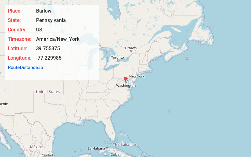
Location Information
-
Full AddressBarlow, Mt Joy Township, PA 17325
-
Coordinates39.7553754, -77.229985
-
LocationMt Joy Township , Pennsylvania , US
-
TimezoneAmerica/New_York
-
Current Local Time3:27:27 PM America/New_YorkFriday, June 6, 2025
-
Page Views0
About Barlow
Barlow is a populated place between the Gettysburg Battlefield and the Mason–Dixon line in Adams County, Pennsylvania, United States, situated at the intersection of Rock Creek and Pennsylvania Route 134.
Nearby Places
Found 10 places within 50 miles

Plum Run
1.5 mi
2.4 km
Plum Run, Cumberland Township, PA 17325
Get directions

Mairs Mill
3.0 mi
4.8 km
Mairs Mill, MD 21787
Get directions
Fairplay
3.1 mi
5.0 km
Fairplay, PA 17325
Get directions
Two Taverns
3.8 mi
6.1 km
Two Taverns, Mt Joy Township, PA 17325
Get directions

Lake Heritage
4.5 mi
7.2 km
Lake Heritage, PA 17325
Get directions
Longville
5.1 mi
8.2 km
Longville, MD 21787
Get directions

Gettysburg
5.2 mi
8.4 km
Gettysburg, PA 17325
Get directions
Black Horse Tavern
5.2 mi
8.4 km
Black Horse Tavern, Cumberland Township, PA 17325
Get directions

Emmitsburg
6.2 mi
10.0 km
Emmitsburg, MD 21727
Get directions
Kingsdale
6.3 mi
10.1 km
Kingsdale, PA 17340
Get directions
Location Links
Local Weather
Weather Information
Coming soon!
Location Map
Static map view of Barlow, Pennsylvania
Browse Places by Distance
Places within specific distances from Barlow
Short Distances
Long Distances
Click any distance to see all places within that range from Barlow. Distances shown in miles (1 mile ≈ 1.61 kilometers).