Distance to and from Barnaby Woods, District of Columbia
Barnaby Woods, Washington, DC 20015
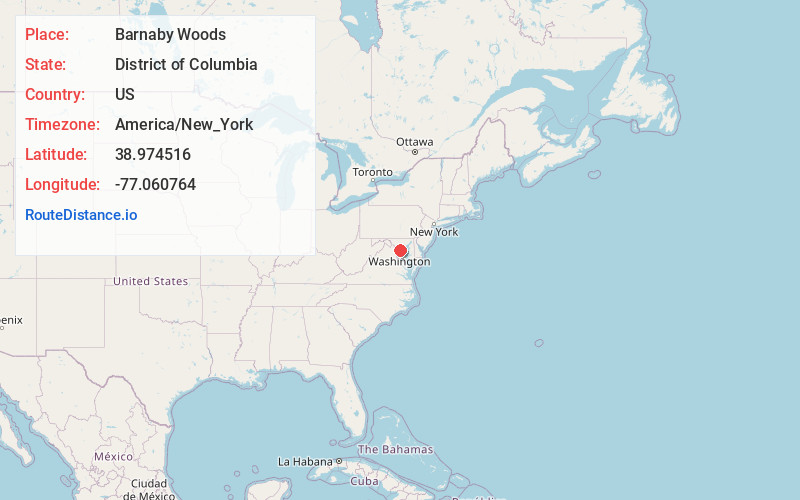
Washington
District of Columbia
US
America/New_York
Location Information
-
Full AddressBarnaby Woods, Washington, DC 20015
-
Coordinates38.9745158, -77.0607637
-
NeighborhoodBarnaby Woods
-
LocationWashington , District of Columbia , US
-
TimezoneAmerica/New_York
-
Current Local Time3:24:14 PM America/New_YorkSaturday, May 3, 2025
-
Page Views0
Directions to Nearest Cities
Martin's Additions
Martin's Additions, MD 20815
0.5 mi
Rollingwood
Rollingwood, Martin's Additions, MD 20815
0.7 mi
The Hamlet
The Hamlet, Chevy Chase, MD 20815
1.1 mi
Dunlops Hills
Dunlops Hills, Chevy Chase, MD 20815
1.1 mi
Rock Creek Forest
Rock Creek Forest, Silver Spring, MD 20815
1.2 mi
Rock Creek Gardens
Rock Creek Gardens, Silver Spring, MD 20910
1.5 mi
About Barnaby Woods
Barnaby Woods is a neighborhood in the Northwest quadrant of Washington, D.C., wedged between Rock Creek Park and Montgomery County, Maryland. It is bounded on the north by Aberfoyle Place, on the west by Western Avenue, on the south by Tennyson Street, and on the east by Oregon Avenue.
Nearby Places
Found 10 places within 50 miles

Martin's Additions
0.5 mi
0.8 km
Martin's Additions, MD 20815
Get directions
Rollingwood
0.7 mi
1.1 km
Rollingwood, Martin's Additions, MD 20815
Get directions
The Hamlet
1.1 mi
1.8 km
The Hamlet, Chevy Chase, MD 20815
Get directions
Dunlops Hills
1.1 mi
1.8 km
Dunlops Hills, Chevy Chase, MD 20815
Get directions
Rock Creek Forest
1.2 mi
1.9 km
Rock Creek Forest, Silver Spring, MD 20815
Get directions
Rock Creek Gardens
1.5 mi
2.4 km
Rock Creek Gardens, Silver Spring, MD 20910
Get directions
Rock Creek Knolls
1.6 mi
2.6 km
Rock Creek Knolls, Chevy Chase, MD 20815
Get directions

Chevy Chase
1.7 mi
2.7 km
Chevy Chase, MD
Get directions

Friendship Heights Village
1.7 mi
2.7 km
Friendship Heights Village, MD 20815
Get directions
Columbia Forest
1.7 mi
2.7 km
Columbia Forest, Chevy Chase, MD 20814
Get directions
Martin's Additions
0.5 mi
0.8 km
Martin's Additions, MD 20815
Rollingwood
0.7 mi
1.1 km
Rollingwood, Martin's Additions, MD 20815
The Hamlet
1.1 mi
1.8 km
The Hamlet, Chevy Chase, MD 20815
Dunlops Hills
1.1 mi
1.8 km
Dunlops Hills, Chevy Chase, MD 20815
Rock Creek Forest
1.2 mi
1.9 km
Rock Creek Forest, Silver Spring, MD 20815
Rock Creek Gardens
1.5 mi
2.4 km
Rock Creek Gardens, Silver Spring, MD 20910
Rock Creek Knolls
1.6 mi
2.6 km
Rock Creek Knolls, Chevy Chase, MD 20815
Chevy Chase
1.7 mi
2.7 km
Chevy Chase, MD
Friendship Heights Village
1.7 mi
2.7 km
Friendship Heights Village, MD 20815
Columbia Forest
1.7 mi
2.7 km
Columbia Forest, Chevy Chase, MD 20814
Location Links
Local Weather
Weather Information
Coming soon!
Location Map
Static map view of Barnaby Woods, District of Columbia
Browse Places by Distance
Places within specific distances from Barnaby Woods
Short Distances
Long Distances
Click any distance to see all places within that range from Barnaby Woods. Distances shown in miles (1 mile ≈ 1.61 kilometers).