Distance to Barnards, Pennsylvania

Calculating Your Route
Just a moment while we process your request...
Location Information
-
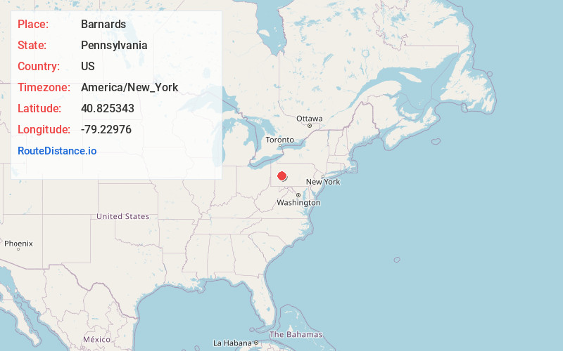
Full AddressBarnards, Cowanshannock Township, PA 16222
-
Coordinates40.8253427, -79.2297604
-
LocationCowanshannock Township , Pennsylvania , US
-
TimezoneAmerica/New_York
-
Current Local Time6:54:03 PM America/New_YorkFriday, June 20, 2025
-
Page Views0
About Barnards
Barnard is a historic community located in Cowanshannock Township, Armstrong County, Pennsylvania. It is located at 40.8253427 -79.2297604. It operated a U.S. Post Office from 1861 to 1905. Its elevation is 1,184 feet. Barnards P.O. appears in the 1876 Atlas of Armstrong County, Pennsylvania.
Nearby Places
Found 10 places within 50 miles

Smeltzer
2.0 mi
3.2 km
Smeltzer, Cowanshannock Township, PA 16222
Get directions
Plumville
3.4 mi
5.5 km
Plumville, PA
Get directions

Dayton
3.9 mi
6.3 km
Dayton, PA 16222
Get directions

Smicksburg
4.3 mi
6.9 km
Smicksburg, PA 16256
Get directions

Rural Valley
4.8 mi
7.7 km
Rural Valley, PA
Get directions
Atwood
5.2 mi
8.4 km
Atwood, PA
Get directions
Echo
5.4 mi
8.7 km
Echo, Wayne Township, PA 16201
Get directions
South Mahoning Township
5.7 mi
9.2 km
South Mahoning Township, PA
Get directions
West Mahoning Township
5.9 mi
9.5 km
West Mahoning Township, PA
Get directions
Loop
6.1 mi
9.8 km
Loop, West Mahoning Township, PA 16222
Get directions
Location Links
Local Weather
Weather Information
Coming soon!
Location Map
Static map view of Barnards, Pennsylvania
Browse Places by Distance
Places within specific distances from Barnards
Short Distances
Long Distances
Click any distance to see all places within that range from Barnards. Distances shown in miles (1 mile ≈ 1.61 kilometers).