Distance to Barstow, Illinois

Calculating Your Route
Just a moment while we process your request...
Location Information
-
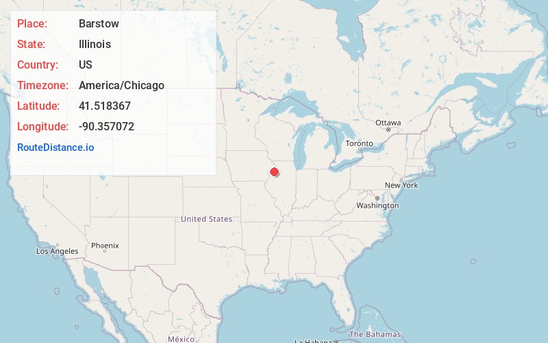
Full AddressBarstow, IL 61244
-
Coordinates41.5183673, -90.3570721
-
LocationBarstow , Illinois , US
-
TimezoneAmerica/Chicago
-
Current Local Time2:15:01 PM America/ChicagoThursday, June 5, 2025
-
Page Views0
About Barstow
Barstow is an unincorporated community in Rock Island County, Illinois, United States. Barstow is east of East Moline and Silvis. Barstow is located on a wye that connects track owned by the BNSF Railway, including the Barstow Subdivision.
Nearby Places
Found 10 places within 50 miles

Cleveland
2.3 mi
3.7 km
Cleveland, IL 61241
Get directions
Carbon Cliff
2.4 mi
3.9 km
Carbon Cliff, IL
Get directions
Colona
2.4 mi
3.9 km
Colona, IL
Get directions
Silvis
3.0 mi
4.8 km
Silvis, IL
Get directions

Hampton
3.7 mi
6.0 km
Hampton, IL
Get directions
Rapids City
4.4 mi
7.1 km
Rapids City, IL
Get directions

East Moline
4.7 mi
7.6 km
East Moline, IL
Get directions

Le Claire
5.5 mi
8.9 km
Le Claire, IA 52753
Get directions
Riverdale
5.5 mi
8.9 km
Riverdale, IA 52722
Get directions
Panorama Park
5.6 mi
9.0 km
Panorama Park, IA 52722
Get directions
Location Links
Local Weather
Weather Information
Coming soon!
Location Map
Static map view of Barstow, Illinois
Browse Places by Distance
Places within specific distances from Barstow
Short Distances
Long Distances
Click any distance to see all places within that range from Barstow. Distances shown in miles (1 mile ≈ 1.61 kilometers).