Distance to Barthell, Kentucky

Calculating Your Route
Just a moment while we process your request...
Location Information
-
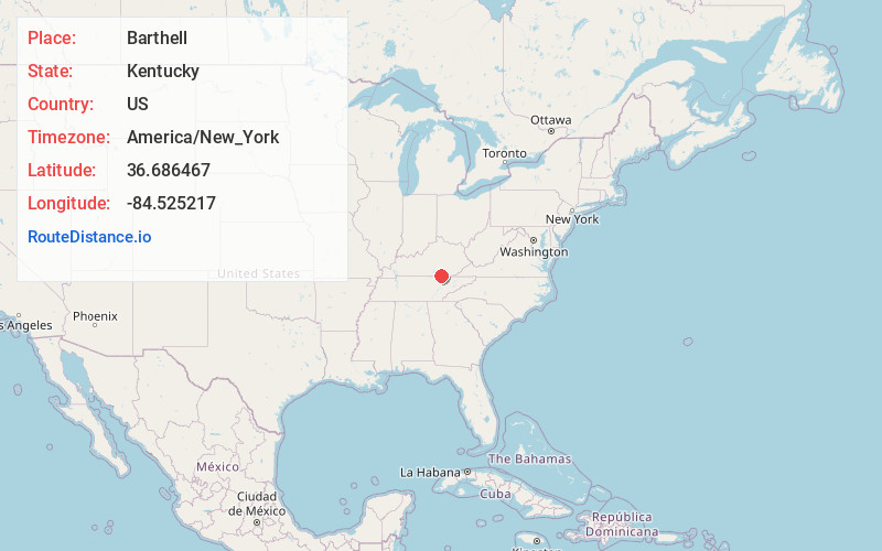
Full AddressBarthell, KY 42649
-
Coordinates36.6864665, -84.5252169
-
LocationKentucky , US
-
TimezoneAmerica/New_York
-
Current Local Time4:35:29 PM America/New_YorkTuesday, July 1, 2025
-
Page Views0
About Barthell
Barthell is a former coal town in McCreary County, Kentucky, United States. It was established in 1902 and was the first of 18 mining camps to be built by the Stearns Coal and Lumber Company. It now serves as an open-air history museum, which is open from April through Thanksgiving.
Nearby Places
Found 10 places within 50 miles

Stearns
2.8 mi
4.5 km
Stearns, KY
Get directions

Whitley City
4.0 mi
6.4 km
Whitley City, KY 42653
Get directions

Pine Knot
5.4 mi
8.7 km
Pine Knot, KY
Get directions
Silerville
6.5 mi
10.5 km
Silerville, KY 42649
Get directions
Ritner
9.4 mi
15.1 km
Ritner, KY 42633
Get directions
Beulah Heights
9.4 mi
15.1 km
Beulah Heights, KY 42653
Get directions

Winfield
9.9 mi
15.9 km
Winfield, TN
Get directions
Griffin
11.3 mi
18.2 km
Griffin, KY 42633
Get directions
Duckrun
12.1 mi
19.5 km
Duckrun, KY 40769
Get directions
Parmleysville
12.8 mi
20.6 km
Parmleysville, KY 42633
Get directions
Location Links
Local Weather
Weather Information
Coming soon!
Location Map
Static map view of Barthell, Kentucky
Browse Places by Distance
Places within specific distances from Barthell
Short Distances
Long Distances
Click any distance to see all places within that range from Barthell. Distances shown in miles (1 mile ≈ 1.61 kilometers).