Distance to Bartlett, Ohio

Calculating Your Route
Just a moment while we process your request...
Location Information
-
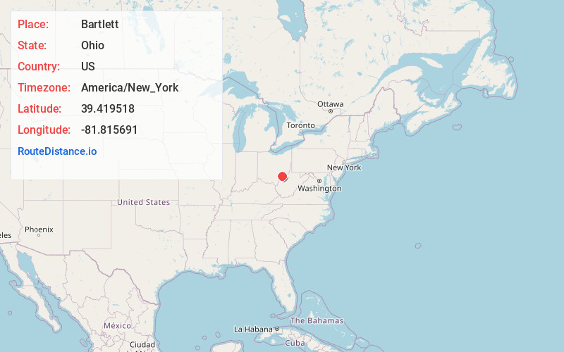
Full AddressBartlett, OH 45724
-
Coordinates39.4195178, -81.8156907
-
LocationBartlett , Ohio , US
-
TimezoneAmerica/New_York
-
Current Local Time3:42:26 AM America/New_YorkFriday, May 23, 2025
-
Page Views0
About Bartlett
Bartlett is an unincorporated community in southwestern Wesley Township, Washington County, Ohio, United States. It has a post office with the ZIP code 45713. It sits at the intersection of State Routes 550 and 555 near Coal Run, a subsidiary of Wolf Creek, which meets the Muskingum River at Waterford to the north.
Nearby Places
Found 10 places within 50 miles

Layman
5.0 mi
8.0 km
Layman, OH 45786
Get directions
Broadwell
5.1 mi
8.2 km
Broadwell, Bern Township, OH 45778
Get directions
Sharpsburg
5.2 mi
8.4 km
Sharpsburg, OH 45711
Get directions
Qualey
5.4 mi
8.7 km
Qualey, Fairfield Township, OH 45724
Get directions

Chesterhill
5.5 mi
8.9 km
Chesterhill, OH 43728
Get directions
Dale
5.5 mi
8.9 km
Dale, Windsor Township, OH 43787
Get directions
Big Run
5.5 mi
8.9 km
Big Run, OH 45778
Get directions
Dunbar
5.7 mi
9.2 km
Dunbar, Fairfield Township, OH 45724
Get directions
Armadale
6.0 mi
9.7 km
Armadale, OH 45711
Get directions
Wolf Creek
6.1 mi
9.8 km
Wolf Creek, OH 43787
Get directions
Location Links
Local Weather
Weather Information
Coming soon!
Location Map
Static map view of Bartlett, Ohio
Browse Places by Distance
Places within specific distances from Bartlett
Short Distances
Long Distances
Click any distance to see all places within that range from Bartlett. Distances shown in miles (1 mile ≈ 1.61 kilometers).