Distance to Barton, Mississippi

Calculating Your Route
Just a moment while we process your request...
Location Information
-
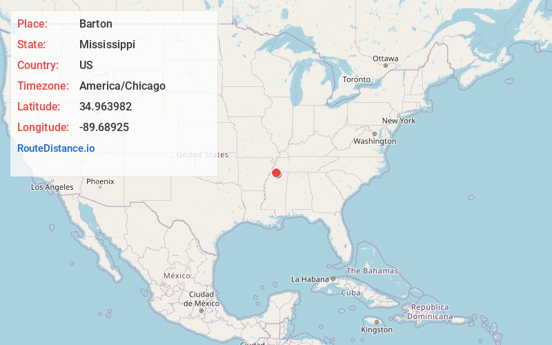
Full AddressBarton, MS 38654
-
Coordinates34.9639824, -89.6892502
-
LocationMississippi , US
-
TimezoneAmerica/Chicago
-
Current Local Time12:48:54 AM America/ChicagoSunday, June 22, 2025
-
Page Views0
About Barton
Barton is an unincorporated community in western Marshall County, Mississippi, United States. It is located at the intersection of State Highway 302 and State Highway 309. A post office operated under the name Barton from 1884 to 1905. In 1900, Barton had a population of 45.
Nearby Places
Found 10 places within 50 miles

Miller
5.5 mi
8.9 km
Miller, MS 38654
Get directions

Collierville
5.7 mi
9.2 km
Collierville, TN
Get directions

Byhalia
6.3 mi
10.1 km
Byhalia, MS 38611
Get directions
Fairhaven
6.5 mi
10.5 km
Fairhaven, Olive Branch, MS 38654
Get directions

Piperton
6.8 mi
10.9 km
Piperton, TN
Get directions

Olive Branch
7.9 mi
12.7 km
Olive Branch, MS 38654
Get directions

Maywood
9.0 mi
14.5 km
Maywood, Olive Branch, MS 38654
Get directions

Victoria
9.1 mi
14.6 km
Victoria, MS
Get directions
Warsaw
9.2 mi
14.8 km
Warsaw, MS 38611
Get directions
Mt Pleasant
9.8 mi
15.8 km
Mt Pleasant, MS
Get directions
Location Links
Local Weather
Weather Information
Coming soon!
Location Map
Static map view of Barton, Mississippi
Browse Places by Distance
Places within specific distances from Barton
Short Distances
Long Distances
Click any distance to see all places within that range from Barton. Distances shown in miles (1 mile ≈ 1.61 kilometers).