Distance to Bartonsville, Virginia

Calculating Your Route
Just a moment while we process your request...
Location Information
-
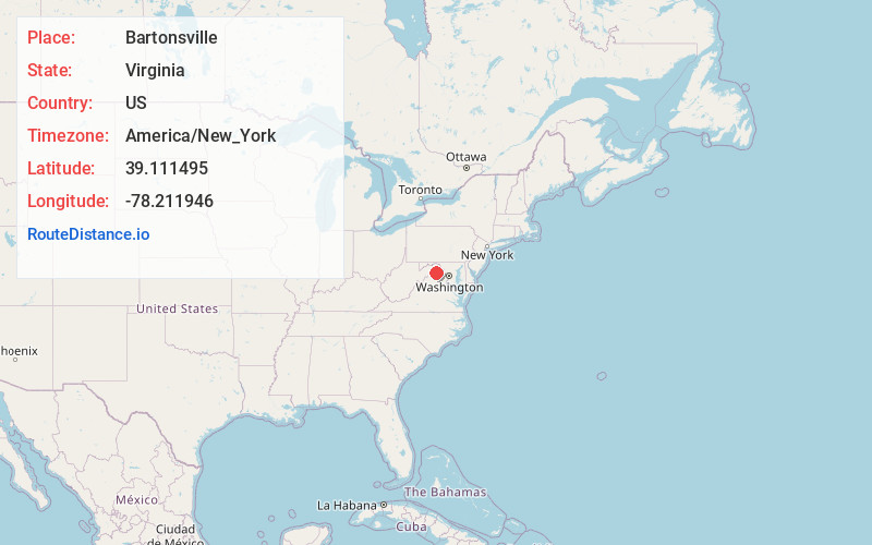
Full AddressBartonsville, VA 22602
-
Coordinates39.1114948, -78.2119457
-
LocationVirginia , US
-
TimezoneAmerica/New_York
-
Current Local Time1:18:40 PM America/New_YorkFriday, June 13, 2025
-
Page Views0
About Bartonsville
Bartonsville is an unincorporated community located along Opequon Creek in Frederick County, Virginia between Winchester and Stephens City. Bartonsville is on Springdale Road to the west of Valley Pike. Historically, it has been referred to as Barton's Mill and Bartonville.

Nearby Places
Found 10 places within 50 miles

Stephens City
2.0 mi
3.2 km
Stephens City, VA
Get directions

Parkins Mills
3.0 mi
4.8 km
Parkins Mills, VA 22602
Get directions
Armel
4.3 mi
6.9 km
Armel, VA 22602
Get directions
College Park
4.8 mi
7.7 km
College Park, VA 22602
Get directions

Winchester
5.7 mi
9.2 km
Winchester, VA 22601
Get directions
Burning Knolls
6.7 mi
10.8 km
Burning Knolls, VA 22602
Get directions
Bunker Hill
6.8 mi
10.9 km
Bunker Hill, VA 22655
Get directions

Middletown
6.9 mi
11.1 km
Middletown, VA 22645
Get directions
Sunnyside
6.9 mi
11.1 km
Sunnyside, VA 22603
Get directions

White Post
6.9 mi
11.1 km
White Post, VA 22663
Get directions
Location Links
Local Weather
Weather Information
Coming soon!
Location Map
Static map view of Bartonsville, Virginia
Browse Places by Distance
Places within specific distances from Bartonsville
Short Distances
Long Distances
Click any distance to see all places within that range from Bartonsville. Distances shown in miles (1 mile ≈ 1.61 kilometers).