Distance to Batavia, New York

Calculating Your Route
Just a moment while we process your request...
Location Information
-
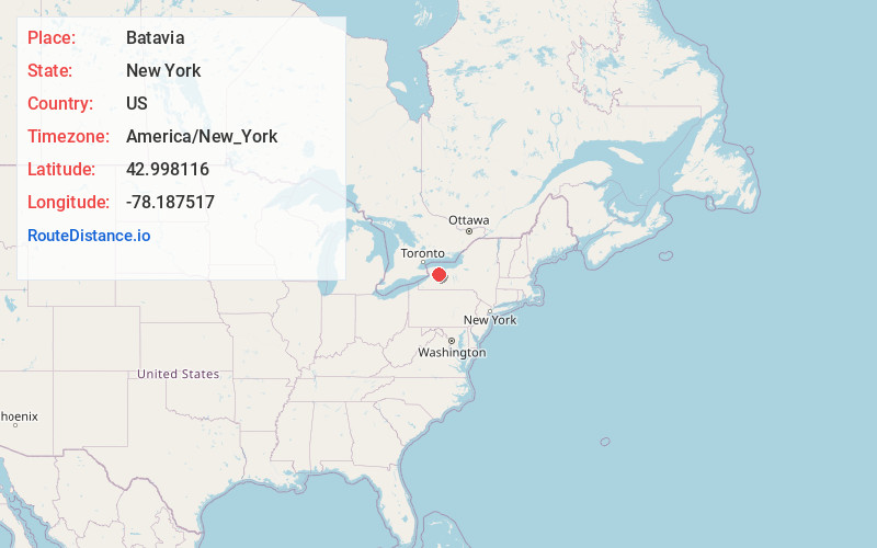
Full AddressBatavia, NY 14020
-
Coordinates42.9981156, -78.1875167
-
LocationBatavia , New York , US
-
TimezoneAmerica/New_York
-
Current Local Time12:36:16 AM America/New_YorkMonday, June 16, 2025
-
Page Views0
About Batavia
Batavia is a city in and the county seat of Genesee County, New York, United States. It is located near the center of the county, surrounded by the Town of Batavia, which is a separate municipality. Batavia's population, as of the 2020 census, was 15,600.


Nearby Places
Found 10 places within 50 miles

Clarence
20.5 mi
33.0 km
Clarence, NY 14031
Get directions

Lancaster
25.3 mi
40.7 km
Lancaster, NY
Get directions

Lockport
28.0 mi
45.1 km
Lockport, NY 14094
Get directions

Amherst
28.4 mi
45.7 km
Amherst, NY
Get directions

Henrietta
29.3 mi
47.2 km
Henrietta, NY 14467
Get directions

Cheektowaga
29.3 mi
47.2 km
Cheektowaga, NY
Get directions

West Seneca
30.8 mi
49.6 km
West Seneca, NY
Get directions

Rochester
31.2 mi
50.2 km
Rochester, NY
Get directions

Brighton
32.2 mi
51.8 km
Brighton, NY
Get directions

Orchard Park
32.4 mi
52.1 km
Orchard Park, NY 14127
Get directions
Location Links
Local Weather
Weather Information
Coming soon!
Location Map
Static map view of Batavia, New York
Browse Places by Distance
Places within specific distances from Batavia
Short Distances
Long Distances
Click any distance to see all places within that range from Batavia. Distances shown in miles (1 mile ≈ 1.61 kilometers).