Distance to and from Batesville, Arkansas
Batesville, AR 72501
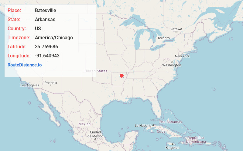
Batesville
Arkansas
US
America/Chicago
Location Information
-
Full AddressBatesville, AR 72501
-
Coordinates35.7696862, -91.6409431
-
LocationBatesville , Arkansas , US
-
TimezoneAmerica/Chicago
-
Current Local Time10:04:33 AM America/ChicagoSaturday, May 3, 2025
-
Website
-
Page Views0
Directions to Nearest Cities
About Batesville
Batesville is the county seat and largest city of Independence County, Arkansas, United States, 80 miles northeast of Little Rock, the state capital. According to the 2010 Census, the population of the city was 10,268.


Nearby Places

Location Links
Local Weather
Weather Information
Coming soon!
Location Map
Static map view of Batesville, Arkansas
Browse Places by Distance
Places within specific distances from Batesville
Short Distances
Long Distances
Click any distance to see all places within that range from Batesville. Distances shown in miles (1 mile ≈ 1.61 kilometers).