Distance to and from Baxter, Kentucky
Baxter, KY 40806
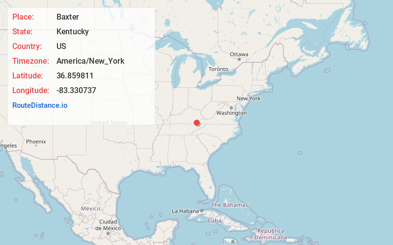
Baxter
Kentucky
US
America/New_York
Location Information
-
Full AddressBaxter, KY 40806
-
Coordinates36.8598108, -83.330737
-
LocationBaxter , Kentucky , US
-
TimezoneAmerica/New_York
-
Current Local Time4:38:12 AM America/New_YorkMonday, May 5, 2025
-
Page Views0
Directions to Nearest Cities
About Baxter
Baxter is an unincorporated community in Harlan County, Kentucky, United States.
The community sits at the confluence of Martin's Fork with Clover Fork to form the Cumberland River.
Nearby Places
Found 10 places within 50 miles

Harlan
1.3 mi
2.1 km
Harlan, KY
Get directions

Loyall
1.4 mi
2.3 km
Loyall, KY
Get directions

Sunshine
1.6 mi
2.6 km
Sunshine, KY 40831
Get directions

Gatun
1.8 mi
2.9 km
Gatun, KY 40806
Get directions
Rio Vista
1.9 mi
3.1 km
Rio Vista, KY 40806
Get directions
Dressen
2.0 mi
3.2 km
Dressen, KY 40831
Get directions
Kitts
2.0 mi
3.2 km
Kitts, KY 40831
Get directions
Golden Ash
2.2 mi
3.5 km
Golden Ash, KY 40831
Get directions
Keith
2.3 mi
3.7 km
Keith, KY 40873
Get directions
Tway
2.4 mi
3.9 km
Tway, Harlan, KY 40831
Get directions
Harlan
1.3 mi
2.1 km
Harlan, KY
Loyall
1.4 mi
2.3 km
Loyall, KY
Sunshine
1.6 mi
2.6 km
Sunshine, KY 40831
Gatun
1.8 mi
2.9 km
Gatun, KY 40806
Rio Vista
1.9 mi
3.1 km
Rio Vista, KY 40806
Dressen
2.0 mi
3.2 km
Dressen, KY 40831
Kitts
2.0 mi
3.2 km
Kitts, KY 40831
Golden Ash
2.2 mi
3.5 km
Golden Ash, KY 40831
Keith
2.3 mi
3.7 km
Keith, KY 40873
Tway
2.4 mi
3.9 km
Tway, Harlan, KY 40831
Location Links
Local Weather
Weather Information
Coming soon!
Location Map
Static map view of Baxter, Kentucky
Browse Places by Distance
Places within specific distances from Baxter
Short Distances
Long Distances
Click any distance to see all places within that range from Baxter. Distances shown in miles (1 mile ≈ 1.61 kilometers).