Distance to Baxter, Arkansas

Calculating Your Route
Just a moment while we process your request...
Location Information
-
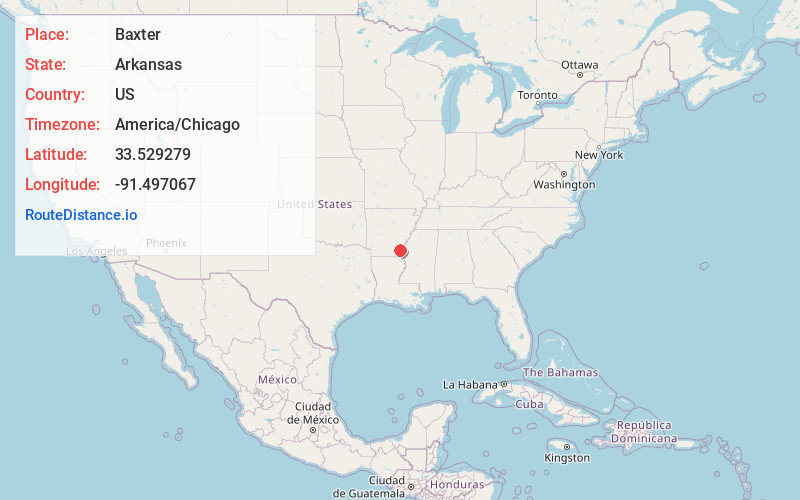
Full AddressBaxter, AR 71638
-
Coordinates33.5292786, -91.4970672
-
LocationBaxter , Arkansas , US
-
TimezoneAmerica/Chicago
-
Current Local Time1:36:33 AM America/ChicagoThursday, July 3, 2025
-
Page Views0
Nearby Places
Found 10 places within 50 miles

Dermott
3.5 mi
5.6 km
Dermott, AR 71638
Get directions

Collins
3.9 mi
6.3 km
Collins, AR 71638
Get directions
Masonville
6.5 mi
10.5 km
Masonville, AR 71654
Get directions
Hudspeth
6.9 mi
11.1 km
Hudspeth, AR 71638
Get directions
Cominto
7.6 mi
12.2 km
Cominto, AR 71638
Get directions
Hurds
8.1 mi
13.0 km
Hurds, AR 71638
Get directions
Bellaire
8.1 mi
13.0 km
Bellaire, AR 71638
Get directions

McGehee
8.6 mi
13.8 km
McGehee, AR 71654
Get directions
Jerome
9.2 mi
14.8 km
Jerome, AR 71638
Get directions
Halley
9.9 mi
15.9 km
Halley, AR 71638
Get directions
Location Links
Local Weather
Weather Information
Coming soon!
Location Map
Static map view of Baxter, Arkansas
Browse Places by Distance
Places within specific distances from Baxter
Short Distances
Long Distances
Click any distance to see all places within that range from Baxter. Distances shown in miles (1 mile ≈ 1.61 kilometers).