Distance to Baxter, West Virginia

Calculating Your Route
Just a moment while we process your request...
Location Information
-
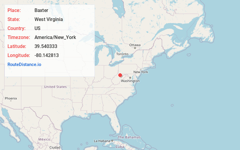
Full AddressBaxter, WV
-
Coordinates39.5403331, -80.1428126
-
LocationBaxter , West Virginia , US
-
TimezoneAmerica/New_York
-
Current Local Time1:00:25 AM America/New_YorkMonday, June 9, 2025
-
Page Views0
About Baxter
Baxter is an unincorporated community in Marion County, West Virginia, United States. Baxter lies to the northwest of Rivesville along Paw Paw Creek.
The town was once the site of the Stafford Mine, one of the largest bituminous coal mines in Marion County, owned by the New Central Coal Company of New York.
Nearby Places
Found 10 places within 50 miles

Rivesville
1.6 mi
2.6 km
Rivesville, WV
Get directions

Grant Town
2.4 mi
3.9 km
Grant Town, WV
Get directions
Barrackville
2.8 mi
4.5 km
Barrackville, WV
Get directions

Fairmont
3.8 mi
6.1 km
Fairmont, WV 26554
Get directions
Pleasant Valley
5.9 mi
9.5 km
Pleasant Valley, WV 26554
Get directions

Farmington
6.0 mi
9.7 km
Farmington, WV
Get directions
Fairview
6.6 mi
10.6 km
Fairview, WV 26570
Get directions

Monongah
6.7 mi
10.8 km
Monongah, WV 26554
Get directions

Idamay
7.0 mi
11.3 km
Idamay, WV
Get directions
Booth
7.8 mi
12.6 km
Booth, WV 26501
Get directions
Location Links
Local Weather
Weather Information
Coming soon!
Location Map
Static map view of Baxter, West Virginia
Browse Places by Distance
Places within specific distances from Baxter
Short Distances
Long Distances
Click any distance to see all places within that range from Baxter. Distances shown in miles (1 mile ≈ 1.61 kilometers).