Distance to Baxter Springs, Kansas
Location Information
-
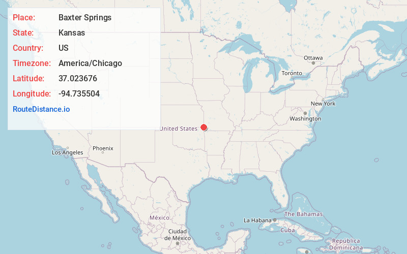
Full AddressBaxter Springs, KS 66713
-
Coordinates37.0236759, -94.7355042
-
LocationBaxter Springs , Kansas , US
-
TimezoneAmerica/Chicago
-
Current Local Time3:09:13 AM America/ChicagoSaturday, May 17, 2025
-
Website
-
Page Views0
About Baxter Springs
Baxter Springs is a city in Cherokee County, Kansas, United States, and located along Spring River. As of the 2020 census, the population of the city was 3,888.


Nearby Places
Found 10 places within 50 miles

Miami
12.9 mi
20.8 km
Miami, OK 74354
Get directions

Joplin
13.0 mi
20.9 km
Joplin, MO
Get directions

Carl Junction
14.1 mi
22.7 km
Carl Junction, MO
Get directions

Webb City
17.3 mi
27.8 km
Webb City, MO
Get directions

Neosho
22.9 mi
36.9 km
Neosho, MO 64850
Get directions

Carthage
25.7 mi
41.4 km
Carthage, MO 64836
Get directions

Pittsburg
26.8 mi
43.1 km
Pittsburg, KS 66762
Get directions

Grove
29.8 mi
48.0 km
Grove, OK 74344
Get directions

Vinita
35.3 mi
56.8 km
Vinita, OK 74301
Get directions

Parsons
36.3 mi
58.4 km
Parsons, KS
Get directions
Location Links
Local Weather
Weather Information
Coming soon!
Location Map
Static map view of Baxter Springs, Kansas
Browse Places by Distance
Places within specific distances from Baxter Springs
Short Distances
Long Distances
Click any distance to see all places within that range from Baxter Springs. Distances shown in miles (1 mile ≈ 1.61 kilometers).