Distance to Baxterville, Mississippi

Calculating Your Route
Just a moment while we process your request...
Location Information
-
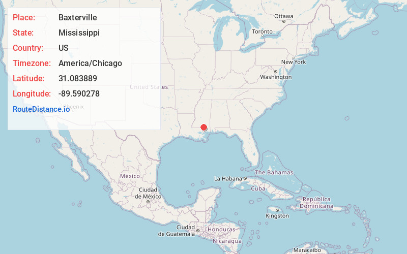
Full AddressBaxterville, MS 39455
-
Coordinates31.083889, -89.590278
-
LocationBaxterville , Mississippi , US
-
TimezoneAmerica/Chicago
-
Current Local Time2:28:57 PM America/ChicagoTuesday, June 24, 2025
-
Page Views0
About Baxterville
Baxterville is a census-designated place and unincorporated community in Lamar County, Mississippi. It is located in the southwestern portion of Lamar County along Mississippi Highway 13, southwest of Hattiesburg.
The community is also home to several churches and cemeteries.
Nearby Places
Found 10 places within 50 miles

Lumberton
10.0 mi
16.1 km
Lumberton, MS 39455
Get directions

Purvis
11.4 mi
18.3 km
Purvis, MS 39475
Get directions

Poplarville
17.2 mi
27.7 km
Poplarville, MS 39470
Get directions
Oak Grove
17.4 mi
28.0 km
Oak Grove, MS
Get directions

Columbia
18.6 mi
29.9 km
Columbia, MS 39429
Get directions
Foxworth
19.6 mi
31.5 km
Foxworth, MS 39483
Get directions
West Hattiesburg
20.6 mi
33.2 km
West Hattiesburg, MS 39402
Get directions
Arnold Line
21.6 mi
34.8 km
Arnold Line, MS 39402
Get directions

Sumrall
23.2 mi
37.3 km
Sumrall, MS 39482
Get directions
Rawls Springs
24.2 mi
38.9 km
Rawls Springs, MS 39402
Get directions
Location Links
Local Weather
Weather Information
Coming soon!
Location Map
Static map view of Baxterville, Mississippi
Browse Places by Distance
Places within specific distances from Baxterville
Short Distances
Long Distances
Click any distance to see all places within that range from Baxterville. Distances shown in miles (1 mile ≈ 1.61 kilometers).