Distance to Baywood, Louisiana

Calculating Your Route
Just a moment while we process your request...
Location Information
-
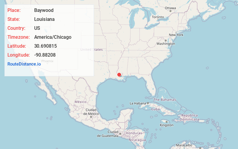
Full AddressBaywood, LA 70722
-
Coordinates30.690815, -90.88208
-
LocationBaywood , Louisiana , US
-
TimezoneAmerica/Chicago
-
Current Local Time3:25:46 PM America/ChicagoWednesday, June 18, 2025
-
Page Views0
About Baywood
Baywood is an unincorporated community located in East Baton Rouge Parish, Louisiana, United States, approximately 30 miles northeast of Baton Rouge. Baywood's elevation is 105 feet above sea level.
Nearby Places
Found 10 places within 50 miles

Oaknolia
7.1 mi
11.4 km
Oaknolia, LA 70777
Get directions

Watson
9.0 mi
14.5 km
Watson, LA 70706
Get directions

Central
13.2 mi
21.2 km
Central, LA
Get directions

Montpelier
13.9 mi
22.4 km
Montpelier, LA 70422
Get directions

Walker
14.1 mi
22.7 km
Walker, LA
Get directions

Clinton
14.5 mi
23.3 km
Clinton, LA 70722
Get directions

Denham Springs
14.8 mi
23.8 km
Denham Springs, LA
Get directions

Livingston
15.3 mi
24.6 km
Livingston, LA 70754
Get directions
Slaughter
15.5 mi
24.9 km
Slaughter, LA 70777
Get directions
Greensburg
15.8 mi
25.4 km
Greensburg, LA 70441
Get directions
Location Links
Local Weather
Weather Information
Coming soon!
Location Map
Static map view of Baywood, Louisiana
Browse Places by Distance
Places within specific distances from Baywood
Short Distances
Long Distances
Click any distance to see all places within that range from Baywood. Distances shown in miles (1 mile ≈ 1.61 kilometers).