Distance to Beachville, Florida

Calculating Your Route
Just a moment while we process your request...
Location Information
-
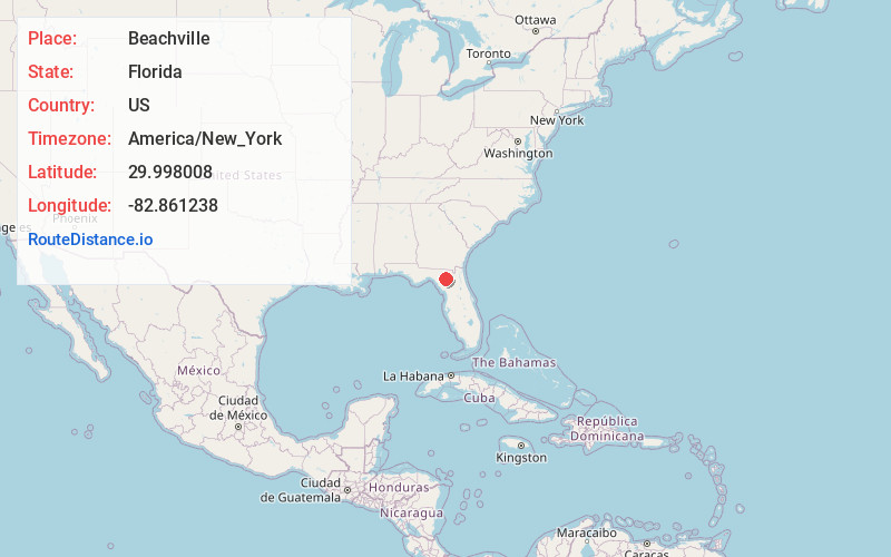
Full AddressBeachville, FL 32071
-
Coordinates29.9980081, -82.8612376
-
LocationFlorida , US
-
TimezoneAmerica/New_York
-
Current Local Time8:54:21 PM America/New_YorkTuesday, June 17, 2025
-
Page Views0
Nearby Places
Found 10 places within 50 miles

Hildreth
4.6 mi
7.4 km
Hildreth, FL 32008
Get directions

Branford
4.8 mi
7.7 km
Branford, FL
Get directions

O'Brien
5.5 mi
8.9 km
O'Brien, FL 32071
Get directions
Sandy Point
6.1 mi
9.8 km
Sandy Point, FL 32008
Get directions

Fort White
10.2 mi
16.4 km
Fort White, FL 32038
Get directions
Hatchbend
11.0 mi
17.7 km
Hatchbend, FL 32619
Get directions

McAlpin
11.2 mi
18.0 km
McAlpin, FL 32062
Get directions
Hollingsworth Bluff
11.4 mi
18.3 km
Hollingsworth Bluff, FL 32038
Get directions
Bass
12.5 mi
20.1 km
Bass, FL 32024
Get directions
Pine Mt
12.7 mi
20.4 km
Pine Mt, FL 32060
Get directions
Location Links
Local Weather
Weather Information
Coming soon!
Location Map
Static map view of Beachville, Florida
Browse Places by Distance
Places within specific distances from Beachville
Short Distances
Long Distances
Click any distance to see all places within that range from Beachville. Distances shown in miles (1 mile ≈ 1.61 kilometers).