Distance to Beaufort, South Carolina

Calculating Your Route
Just a moment while we process your request...
Location Information
-
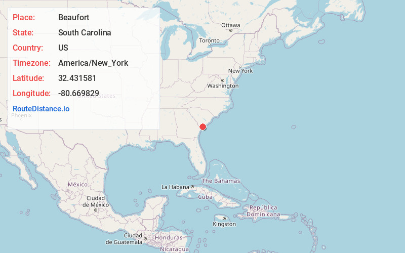
Full AddressBeaufort, SC
-
Coordinates32.4315813, -80.6698286
-
LocationBeaufort , South Carolina , US
-
TimezoneAmerica/New_York
-
Current Local Time5:40:48 PM America/New_YorkTuesday, June 17, 2025
-
Website
-
Page Views0
About Beaufort
Beaufort is a city on Port Royal Island, one of South Carolina’s coastal Sea Islands. It’s known for its antebellum mansions, especially in the downtown historic district. A notable example is the John Mark Verdier House Museum, an early-1800s Federal-style mansion, with period furniture and exhibits on area history. Henry C. Chambers Waterfront Park overlooks the Beaufort River and the Woods Memorial Bridge.


Nearby Places
Found 7 places within 50 miles

Port Royal
3.9 mi
6.3 km
Port Royal, SC
Get directions

Bluffton
17.4 mi
28.0 km
Bluffton, SC
Get directions

Savannah
34.5 mi
55.5 km
Savannah, GA
Get directions

Pooler
40.2 mi
64.7 km
Pooler, GA
Get directions

North Charleston
49.1 mi
79.0 km
North Charleston, SC
Get directions

Charleston
49.3 mi
79.3 km
Charleston, SC
Get directions

Summerville
49.7 mi
80.0 km
Summerville, SC
Get directions
Location Links
Local Weather
Weather Information
Coming soon!
Location Map
Static map view of Beaufort, South Carolina
Browse Places by Distance
Places within specific distances from Beaufort
Short Distances
Long Distances
Click any distance to see all places within that range from Beaufort. Distances shown in miles (1 mile ≈ 1.61 kilometers).