Distance to Belfast, Nebraska

Calculating Your Route
Just a moment while we process your request...
Location Information
-
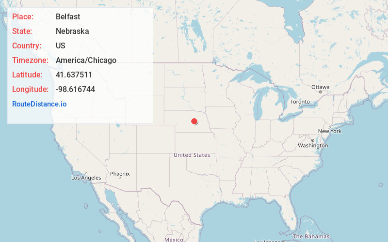
Full AddressBelfast, Greeley Precinct, NE 68842
-
Coordinates41.6375107, -98.616744
-
LocationGreeley Precinct , Nebraska , US
-
TimezoneAmerica/Chicago
-
Current Local Time4:34:51 AM America/ChicagoSunday, June 15, 2025
-
Page Views0
Nearby Places
Found 10 places within 50 miles

Greeley
7.6 mi
12.2 km
Greeley, NE 68842
Get directions

Ericson
10.3 mi
16.6 km
Ericson, NE 68637
Get directions

Scotia
12.6 mi
20.3 km
Scotia, NE 68875
Get directions
North Loup
12.7 mi
20.4 km
North Loup, NE 68859
Get directions
Spalding
13.6 mi
21.9 km
Spalding, NE 68665
Get directions
Ord
16.2 mi
26.1 km
Ord, NE
Get directions

Bartlett
17.4 mi
28.0 km
Bartlett, NE 68622
Get directions
Cotesfield
19.3 mi
31.1 km
Cotesfield, NE 68835
Get directions
Primrose
19.6 mi
31.5 km
Primrose, NE 68655
Get directions
Wolbach
20.2 mi
32.5 km
Wolbach, NE 68882
Get directions
Location Links
Local Weather
Weather Information
Coming soon!
Location Map
Static map view of Belfast, Nebraska
Browse Places by Distance
Places within specific distances from Belfast
Short Distances
Long Distances
Click any distance to see all places within that range from Belfast. Distances shown in miles (1 mile ≈ 1.61 kilometers).