Distance to Belfry, Kentucky

Calculating Your Route
Just a moment while we process your request...
Location Information
-
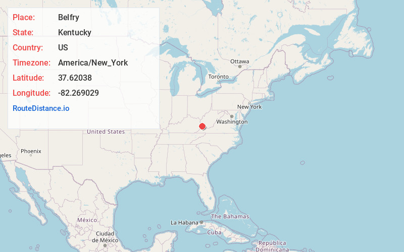
Full AddressBelfry, KY 41514
-
Coordinates37.6203804, -82.2690293
-
LocationBelfry , Kentucky , US
-
TimezoneAmerica/New_York
-
Current Local Time12:17:43 PM America/New_YorkFriday, June 13, 2025
-
Page Views0
About Belfry
Belfry is an unincorporated community and census-designated place in Pike County, Kentucky. Belfry is located on U.S. Route 119, 16.8 miles northeast of Pikeville. Belfry has a post office with ZIP code 41514, which opened on February 26, 1921. The origin of the name "Belfry" is obscure.

Nearby Places
Found 10 places within 50 miles

Williamson
3.8 mi
6.1 km
Williamson, WV 25661
Get directions

McCarr
5.4 mi
8.7 km
McCarr, KY 41544
Get directions

Chattaroy
5.8 mi
9.3 km
Chattaroy, WV 25661
Get directions

Matewan
5.8 mi
9.3 km
Matewan, WV
Get directions

Red Jacket
7.3 mi
11.7 km
Red Jacket, WV
Get directions

Delbarton
7.8 mi
12.6 km
Delbarton, WV
Get directions

Phelps
9.7 mi
15.6 km
Phelps, KY 41553
Get directions
Sarah Ann
16.6 mi
26.7 km
Sarah Ann, WV
Get directions

Pikeville
16.8 mi
27.0 km
Pikeville, KY 41501
Get directions

Omar
17.4 mi
28.0 km
Omar, WV
Get directions
Location Links
Local Weather
Weather Information
Coming soon!
Location Map
Static map view of Belfry, Kentucky
Browse Places by Distance
Places within specific distances from Belfry
Short Distances
Long Distances
Click any distance to see all places within that range from Belfry. Distances shown in miles (1 mile ≈ 1.61 kilometers).