Distance to Bell Station, California

Calculating Your Route
Just a moment while we process your request...
Location Information
-
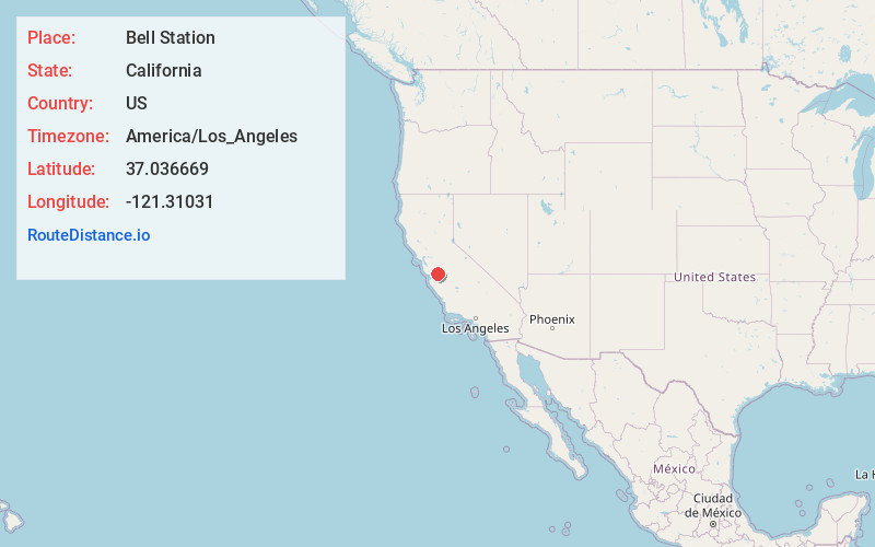
Full AddressBell Station, CA 95023
-
Coordinates37.036669, -121.3103104
-
LocationBell Station , California , US
-
TimezoneAmerica/Los_Angeles
-
Current Local Time1:29:18 AM America/Los_AngelesTuesday, June 3, 2025
-
Page Views0
About Bell Station
Bell Station is an unincorporated community located along State Route 152 between Casa de Fruta and Pacheco Pass near the southeast extent of Santa Clara County, California.
A Department of Transportation maintenance station used to exist in this area.
Nearby Places
Found 10 places within 50 miles

Dunneville
8.6 mi
13.8 km
Dunneville, CA 95023
Get directions
Old Gilroy
12.2 mi
19.6 km
Old Gilroy, CA 95020
Get directions
Hudner
12.2 mi
19.6 km
Hudner, CA 95023
Get directions
Carnadero
13.5 mi
21.7 km
Carnadero, CA 95020
Get directions

Hollister
13.7 mi
22.0 km
Hollister, CA 95023
Get directions

Gilroy
13.8 mi
22.2 km
Gilroy, CA 95020
Get directions
Miller
14.1 mi
22.7 km
Miller, CA 95020
Get directions
Corporal
15.1 mi
24.3 km
Corporal, CA 95045
Get directions

Sargent
15.6 mi
25.1 km
Sargent, CA 95020
Get directions
Rucker
15.6 mi
25.1 km
Rucker, CA 95020
Get directions
Location Links
Local Weather
Weather Information
Coming soon!
Location Map
Static map view of Bell Station, California
Browse Places by Distance
Places within specific distances from Bell Station
Short Distances
Long Distances
Click any distance to see all places within that range from Bell Station. Distances shown in miles (1 mile ≈ 1.61 kilometers).