Distance to Belle Eagle, Tennessee

Calculating Your Route
Just a moment while we process your request...
Location Information
-
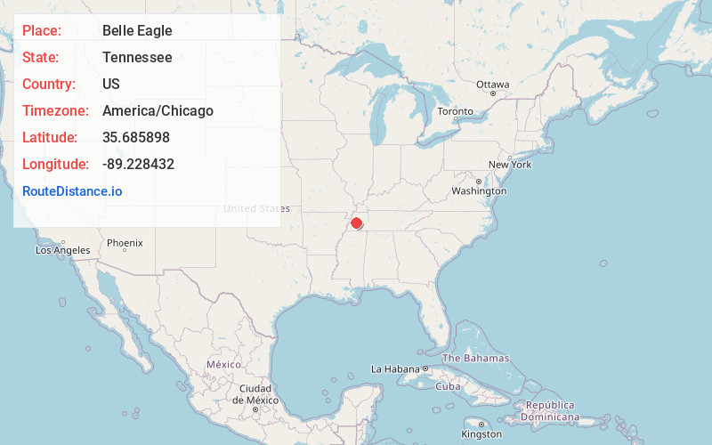
Full AddressBelle Eagle, TN 38012
-
Coordinates35.685898, -89.228432
-
LocationBelle Eagle , Tennessee , US
-
TimezoneAmerica/Chicago
-
Current Local Time10:28:15 PM America/ChicagoMonday, June 2, 2025
-
Page Views1
About Belle Eagle
Belle Eagle is an unincorporated rural community in Northern Haywood County, Tennessee, United States. Belle Eagle is located seven miles north of Brownsville on Tennessee State Route 54. The Green, Herd, Lee, Lewis, Macon, Mullen, Parks, Taylor, Thornton, Walker, and Williams families were among the early settlers.
Nearby Places
Found 10 places within 50 miles

Brownsville
6.6 mi
10.6 km
Brownsville, TN 38012
Get directions

Bells
8.1 mi
13.0 km
Bells, TN 38006
Get directions

Wellwood
8.3 mi
13.4 km
Wellwood, TN 38006
Get directions
Crockett County
8.5 mi
13.7 km
Crockett County, TN
Get directions

Maury City
8.9 mi
14.3 km
Maury City, TN
Get directions

Alamo
9.2 mi
14.8 km
Alamo, TN 38001
Get directions
Sunnyhill
10.5 mi
16.9 km
Sunnyhill, TN 38012
Get directions

Frog Jump
10.8 mi
17.4 km
Frog Jump, TN 38040
Get directions
Dog Hill
11.1 mi
17.9 km
Dog Hill, TN 38034
Get directions
Nance
11.9 mi
19.2 km
Nance, TN 38001
Get directions
Location Links
Local Weather
Weather Information
Coming soon!
Location Map
Static map view of Belle Eagle, Tennessee
Browse Places by Distance
Places within specific distances from Belle Eagle
Short Distances
Long Distances
Click any distance to see all places within that range from Belle Eagle. Distances shown in miles (1 mile ≈ 1.61 kilometers).