Distance to Bena, Virginia

Calculating Your Route
Just a moment while we process your request...
Location Information
-
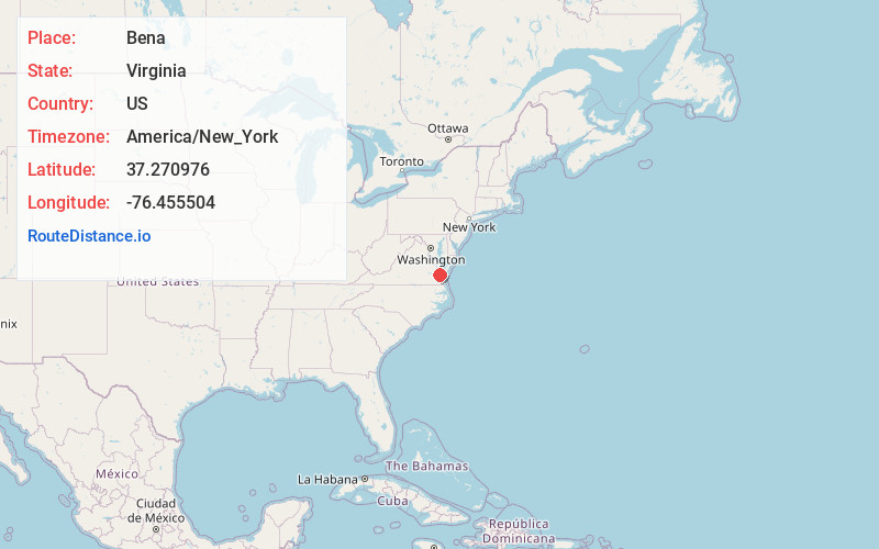
Full AddressBena, VA 23072
-
Coordinates37.2709761, -76.4555041
-
LocationBena , Virginia , US
-
TimezoneAmerica/New_York
-
Current Local Time9:46:20 PM America/New_YorkThursday, June 19, 2025
-
Page Views0
About Bena
Bena is an unincorporated community in Gloucester County, Virginia, United States. The community is located on Virginia State Route 216, 2.5 miles east-northeast of Gloucester Point. Bena has a post office with ZIP code 23018.
Nearby Places
Found 10 places within 50 miles

Severn Manor
2.6 mi
4.2 km
Severn Manor, VA 23072
Get directions

Yorktown
3.7 mi
6.0 km
Yorktown, VA 23690
Get directions
Naxera
4.8 mi
7.7 km
Naxera, VA 23061
Get directions
Edgehill
5.9 mi
9.5 km
Edgehill, VA 23692
Get directions
Acree Acres
6.6 mi
10.6 km
Acree Acres, VA 23692
Get directions
Bohannon
10.2 mi
16.4 km
Bohannon, VA 23021
Get directions
Moores
10.3 mi
16.6 km
Moores, VA 23662
Get directions
Cardinal
11.1 mi
17.9 km
Cardinal, VA 23025
Get directions

Poquoson
11.9 mi
19.2 km
Poquoson, VA
Get directions
Bethel Manor
11.9 mi
19.2 km
Bethel Manor, VA 23665
Get directions
Location Links
Local Weather
Weather Information
Coming soon!
Location Map
Static map view of Bena, Virginia
Browse Places by Distance
Places within specific distances from Bena
Short Distances
Long Distances
Click any distance to see all places within that range from Bena. Distances shown in miles (1 mile ≈ 1.61 kilometers).