Distance to Bennett, North Carolina

Calculating Your Route
Just a moment while we process your request...
Location Information
-
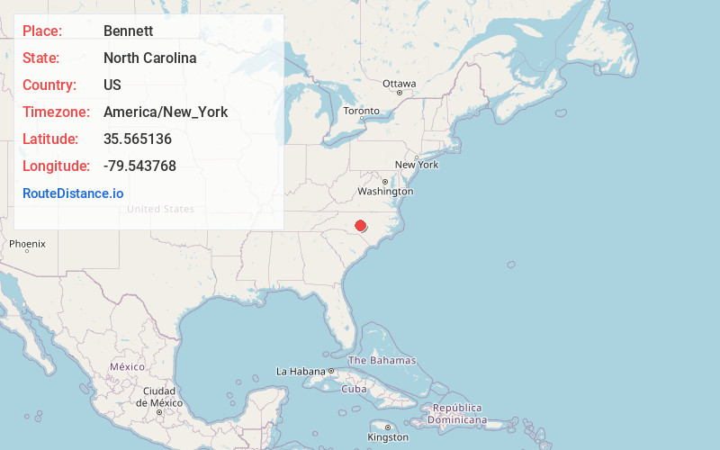
Full AddressBennett, NC 27208
-
Coordinates35.565136, -79.5437677
-
LocationBennett , North Carolina , US
-
TimezoneAmerica/New_York
-
Current Local Time5:22:09 AM America/New_YorkWednesday, June 18, 2025
-
Page Views0
About Bennett
Bennett is a census-designated place in Chatham County, North Carolina, United States.

Nearby Places
Found 10 places within 50 miles

Robbins
9.4 mi
15.1 km
Robbins, NC
Get directions

Siler City
11.9 mi
19.2 km
Siler City, NC 27344
Get directions

Goldston
12.3 mi
19.8 km
Goldston, NC 27252
Get directions

Seagrove
13.0 mi
20.9 km
Seagrove, NC
Get directions

Ramseur
13.1 mi
21.1 km
Ramseur, NC
Get directions

Franklinville
14.9 mi
24.0 km
Franklinville, NC
Get directions

Staley
16.0 mi
25.7 km
Staley, NC 27355
Get directions

Carthage
16.7 mi
26.9 km
Carthage, NC
Get directions

Star
17.6 mi
28.3 km
Star, NC 27356
Get directions

Asheboro
18.1 mi
29.1 km
Asheboro, NC
Get directions
Location Links
Local Weather
Weather Information
Coming soon!
Location Map
Static map view of Bennett, North Carolina
Browse Places by Distance
Places within specific distances from Bennett
Short Distances
Long Distances
Click any distance to see all places within that range from Bennett. Distances shown in miles (1 mile ≈ 1.61 kilometers).