Distance to Benns Church, Virginia

Calculating Your Route
Just a moment while we process your request...
Location Information
-
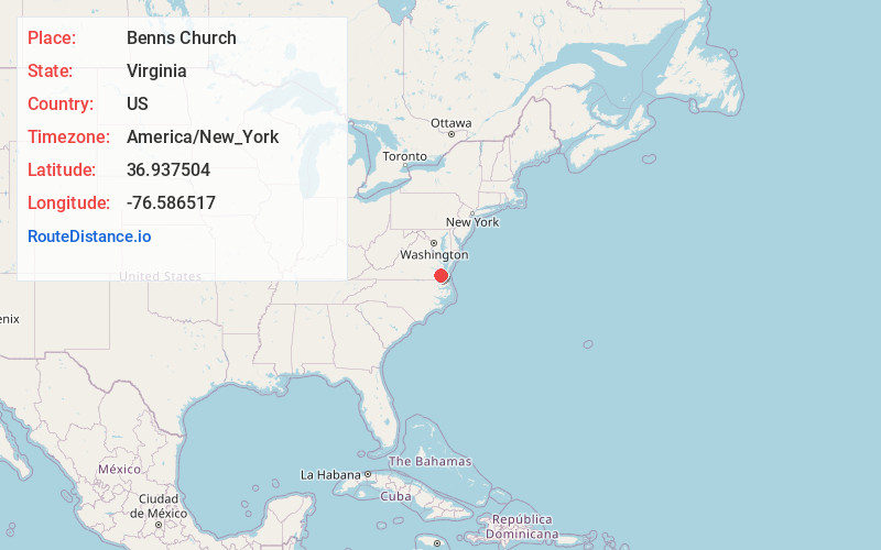
Full AddressBenns Church, VA
-
Coordinates36.9375039, -76.586517
-
LocationBenns Church , Virginia , US
-
TimezoneAmerica/New_York
-
Current Local Time8:23:14 AM America/New_YorkSaturday, June 28, 2025
-
Page Views0
About Benns Church
Benns Church is a census-designated place in Isle of Wight County, Virginia, United States. It is located at the junction of U.S. Route 258 and State Routes 10 and 32, southeast of Smithfield. The population as of the 2010 census was 872.
Nearby Places
Found 10 places within 50 miles

Carrollton
1.6 mi
2.6 km
Carrollton, VA 23314
Get directions

Smithfield
4.0 mi
6.4 km
Smithfield, VA 23430
Get directions

Newport News
12.1 mi
19.5 km
Newport News, VA
Get directions

Windsor
12.5 mi
20.1 km
Windsor, VA 23487
Get directions
Bethel Manor
14.2 mi
22.9 km
Bethel Manor, VA 23665
Get directions

Suffolk
14.5 mi
23.3 km
Suffolk, VA
Get directions

Hampton
14.8 mi
23.8 km
Hampton, VA
Get directions

Portsmouth
17.4 mi
28.0 km
Portsmouth, VA
Get directions

Norfolk
17.7 mi
28.5 km
Norfolk, VA
Get directions

Poquoson
18.4 mi
29.6 km
Poquoson, VA
Get directions
Location Links
Local Weather
Weather Information
Coming soon!
Location Map
Static map view of Benns Church, Virginia
Browse Places by Distance
Places within specific distances from Benns Church
Short Distances
Long Distances
Click any distance to see all places within that range from Benns Church. Distances shown in miles (1 mile ≈ 1.61 kilometers).